Clouds & Rain Remain the Forecast
[gtxvideo vid=”eLqs3Dzl” playlist=”” pid=”2gxTqEDg” thumb=”http://player.gtxcel.com/thumbs/eLqs3Dzl-120.jpg?cachebust=1460691519261″ vtitle=”4/14/16 Ryan 10PM Forecast”]
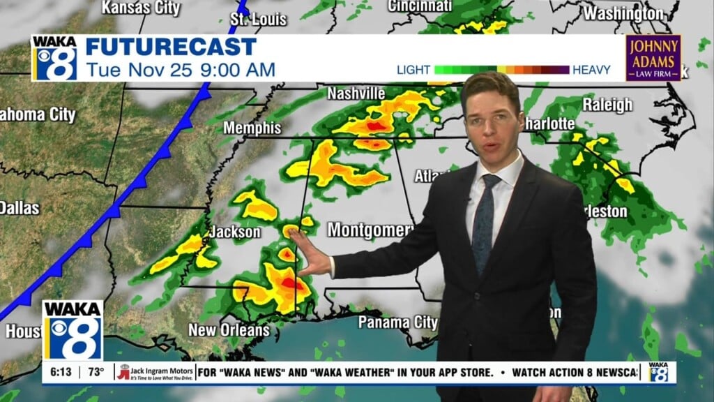
CLOUDY, COOL, DAMP: These words are the best way to describe the weather across Alabama, and much of the Southeast. We continue to deal with scattered showers, clouds, some peeks of sunshine, with gusty winds out of the east today. Temperatures continue to hold into the 60s this afternoon. Heading into the overnight, more of the same. Expect cloudy conditions, with scattered showers across the Alabama landscape as rain will be possible at just about any time. Rainfall amounts the next 48 hours, will be generally under an inch for much of the viewing area.
THE SETUP: The two main players in our weather today and tomorrow will continue to be the upper-level low to our west over the ARKLATEX, and an area of high pressure centered over the Mid-Atlantic. This feature is allowing cold air damming to send a wedge of cooler air into the state from the east, and keeping a cool easterly breezy at the surface moving into the state. The low to the west is allowing southerly flow in the mid-levels which continues to allow moisture to be transported into the state and allowing for the scattered showers. Alabama is sandwiched right between these two features, and therefore our weather is unsettled.
FOR FRIDAY: Tomorrow will be very similar to today, and with the wedge at its strongest, a rather cool mid-April day is ahead. Locations in East Alabama will hold in the 50s all day, while Central and West Alabama will not do better than low 60s. Forecast model output below shows temperatures Friday at 4PM. Clouds, showers, and breezy easterly winds will persist.
SATURDAY: Still looks as though the a few scattered showers and clouds will remain in the forecast, thanks to the wedge/cold air damming setup. Highs Saturday should be in the mid to upper 60s. But late Saturday, the upper-level low will fill-in/weaken and lift out of the area, and late in the day, we should see some sunshine, and the sky should continue to clear heading into the overnight hours.
SUNSHINE RETURNS SUNDAY: A trough will dig down into the Plains this weekend, and will allow for ridging over the Southeast. Terrific and gorgeous spring weather will finally return to the state Sunday, and likely through at least the middle part of next week. These days will feature mainly sunny and warm afternoon with highs in the upper 70s and lower 80s. Overnights will be clear, cool, and refreshing with lows in the 50s and 60s for most locations in Alabama.
NEXT CHANCE OF RAIN: There could be a few scattered showers late Wednesday, but now it looks as though more widespread shower activity will develop over the state on Thursday and could last for several days, but severe weather does not look to be a threat. With the increase in clouds and shower activity late in the week, we could see temperatures back in the mid-70s.


