Rain Remains in the Forecast
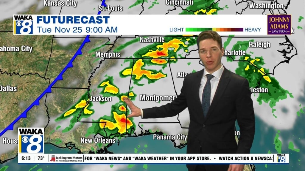
AN OCEAN OF HUMIDITY: A very moisture-rich air mass in place across Alabama due to the broad surface low tracking west along the Gulf Coast, and this continues to allow for the threat of scattered to numerous showers and thunderstorms. The sky is mostly cloudy across South/Central Alabama, and with a very moisture-rich air mass in place, it just doesn’t take much to get these showers going as we are seeing a few out there this morning. Expect more showers and storms throughout the day. Temperatures should be held in the upper 80s due to the clouds and rain.
THURSDAY-FRIDAY: More of the same as widespread and numerous showers and storms will occur on a daily basis for the rest of the work week. The highest coverage of rain will come during the afternoon and evening hours, but we can’t rule out late night or morning showers. Rainfall totals on average through Friday will be 1-3 inches for South/Central Alabama, however, some locations could receive more, while others may not see much at all. Summertime convection has an unequal distribution of rainfall due to the scattered nature of the showers and storms, but many communities are likely to see some beneficial rain the next several days. As we have seen, it won’t rain all the time or everywhere, just know that rain will be possible a just about any time. Because of the clouds and showers, afternoon temperatures will be in the upper 80s through Friday.
THE ALABAMA WEEKEND: Little change in the forecast as we are going to continue to see better than average rain chances into the weekend. Gulf moisture will still be in place across the state and a surface boundary looks to be approaching from the north, and we are going to leave the chance for widespread to numerous showers and storms across the state. Look for temperature in the 90s for highs and 70s for lows.
INTO NEXT WEEK: The upper high to the west begins to slowly rebuild across the region, meaning heat levels creeping up, and fewer showers and thunderstorms. Still a lot of summer left, so expect those widespread 90s to return for much of Central Alabama next week.
Be sure to stay connected throughout the day and night follow me on twitter: @Ryan_Stinnett and Like my Facebook Fan Page “Meteorologist Ryan Stinnett.”
Have a wonderful Wednesday!
Ryan


