Beneficial Rains Arrive this Weekend
FINE FRIDAY: The final day of the work week will be a near carbon copy of Thursday with abundant sunshine and blue sky. Temperatures will be a few degrees warmer by the afternoon and we should see mid 60s in most locations. Enjoy today, because the winds of change begin to blow over the weekend and several days of unsettled weather are ahead.
RAIN RETURNS: Saturday will be partly sunny with a high in the lower 60s. An upper level feature will track across the Southeast and will bring an increase in clouds Saturday and rain is expected to move in from the southwest through the day. Then Sunday, we are expecting periods of rain and rather chilly conditions with highs only in the mid 50s. Certainly looks to be one of those rainy and cool days we haven’t seen in a while. My plan is to make a pot of chili and catch up on some of my shows recorded on my DVR after church.
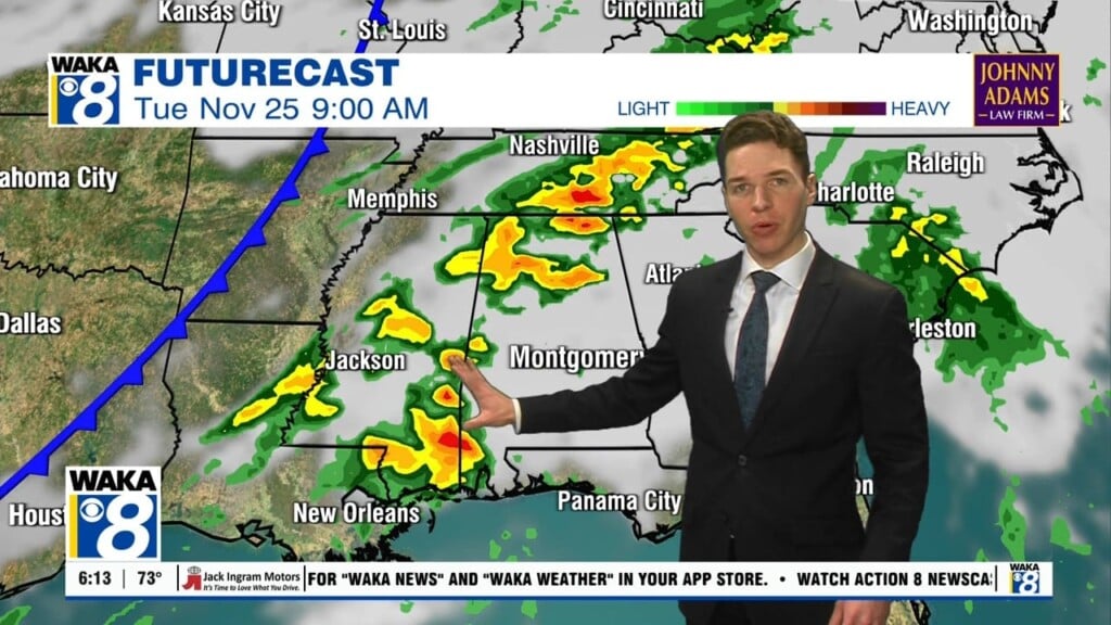
MORE RAIN AND STORMS: An area of low pressure will develop off the Texas Coast and will provide more rain and storms Monday and Tuesday. Unfortunately, as the low lifts north across the Southeast, we could see another round of strong storms, but a lot of uncertainty with this, so we will keep an eye on this potential the next few days. We should see the rain wind down late Tuesday. Then we are likely to see a few showers along a cold front that moves through the state Thursday.
COLDER WEATHER: As the rain comes to an end, cold weather looks to return due to the deep trough settling into the state behind the front. Temperatures look to plummet by Thursday behind the cold front and highs Thursday and Friday look to only be in the 40s, with lows well down into the 20s, likely the coldest air so far this season moves into the state.
Be sure to stay connected throughout the day and night follow me on twitter: @Ryan_Stinnett and Like my Facebook Fan Page “Meteorologist Ryan Stinnett.”
Have a Fantastic Friday and a Wonderful Weekend!
Ryan


