Warming Trend Begins Today
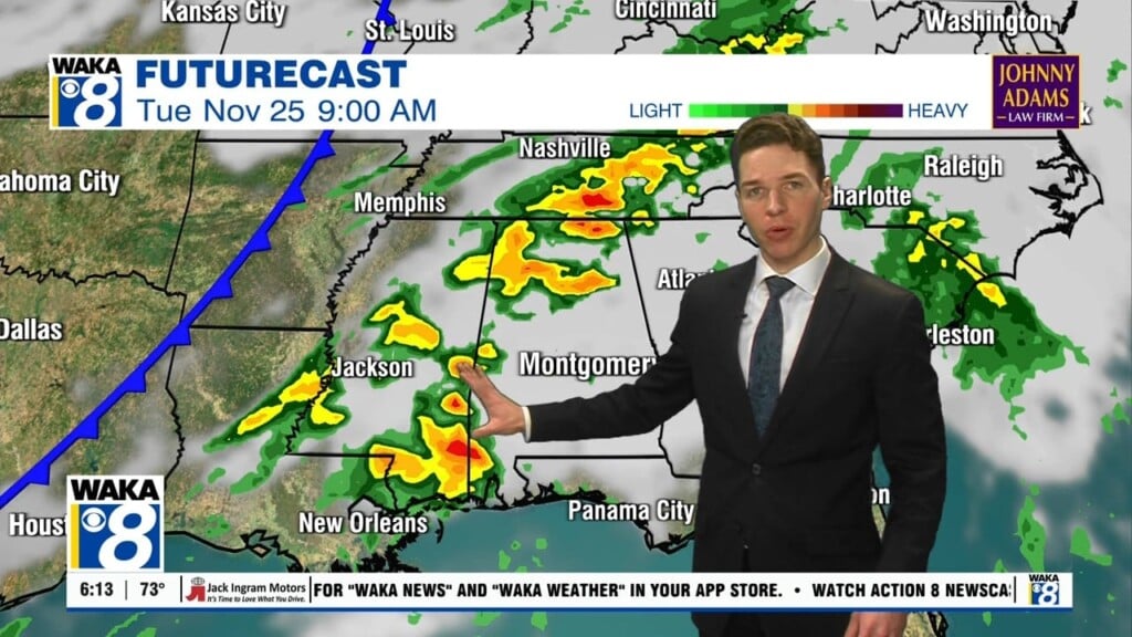
BACK TO WORK: Bundle up this morning, bitterly cold temps in 20s are greeting you this morning, but our warming trend begins today as well. The area of high pressure responsible this Arctic air, slides east of us, and a mainly sunny sky should allow our temps to climb into the upper 40s to lower 50 for most of us, which is still below normal for this time year, but definitely better than the sub-freezing temps from this weekend.
WARMER DAYS AHEAD: With the high east of Alabama, our flow shifts out of the south and that means the warming trend will persist, and we are in store for much warmer days, and temps well-below average now, will head well-above average. For the week ahead, the storm track has shifted to the north across the Midwest and Great Lakes. A front approaching from the northwest will stall through the Tennessee Valley and as long as we are south of that, warm, January days are expected. By Wednesday, our afternoon highs will be in the 70s and lower to mid 70s are expected Thursday and Friday. Good news along with the warmer weather, no severe weather or winter weather is expected for Alabama through the work week, and bitterly cold Arctic air is not showing up the next two weeks in the long range models.
Be sure to stay connected throughout the day and night follow me on twitter: @Ryan_Stinnett and Like my Facebook Fan Page “Meteorologist Ryan Stinnett.”
Have a great day!
Ryan


