Stormy Periods Ahead
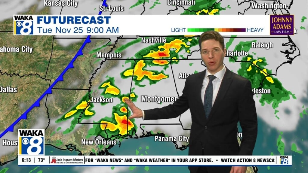
STORMS ARRIVE LATER TODAY: The first round of strong storms will move into Alabama late this afternoon. An upper trough will approach from the west, and the surface front stalled across the region will lift northward as a warm front. Being south of the warm front, we are going to see a rather unstable air mass in place across Alabama. The SPC has nearly the entire state under a “marginal risk” of severe storms for today, which is level one of five. The is not an ideal set-up for severe weather in Alabama as the best dynamics with this first round will be well to the north of the state. Other limiting factors are the lack of dry air in the mid-levels, and lower shear values. However, there are enough parameters in place that a few strong to locally severe storms will be possible late this afternoon, through the overnight hours. It looks as though the main window for storms in Alabama will come from about 3PM-3AM. The main threats with this first round will come from damaging straight-line winds and small hail, although an isolated, brief tornado can’t be ruled out. Rain amounts of around one inch are likely so some minor flooding issues are possible, but major flash flooding is not expected.
FOR FRIDAY: The rain will end early on Friday from west to east across the state, and for the most part, Friday should be mainly dry with highs once again returning to the upper 70s.
STORMY ALABAMA WEEKEND: Multiple rounds of severe weather will be possible this weekend. These storms will accompany a very robust system that will impact Alabama over the weekend, and this is the one we are most concerned with as far as having impacts. A deep upper low will set up west of the state with strong wind fields, and that will allow for an unstable air mass to build across the Deep South. During the pre-dawn hours Saturday, surface based CAPE (instability) values will rise and some severe storms are expected during the morning hours across South Alabama. We should see a lull in the action during the day Saturday, before more storms develop late in the day.
As we roll into Saturday night and Sunday, this is when the greatest threat of severe storms is expected across Alabama, the so called “main event.” The greatest threat for severe storms will be over southern portions of the state. However, a deepening surface low over Arkansas, will be supported by a strong upper trough and severe weather parameters will be in place to give all of Alabama the threat of severe storms. All modes of severe weather look possible, however, this is still three days out and it is simply too early to be specific concerning timing and the magnitude of this threat. A lot could determine on the atmosphere’s recovery from the storms tonight. We just want to give folks a heads up on the threat of severe storms this weekend…no need to be alarmed, just be aware of the potential.
INTO NEXT WEEK: A cold core upper-level low will cross Alabama Monday and we are going see colder air, clouds, and lingering light rain. Highs Monday will be back in the upper 50s for Central Alabama. Towards the end of next week, another cold front will move through the state, will allow winter to return to Alabama. To end the week, highs will fall back into the 40s, and lows will head back towards freezing.
Be sure to stay connected throughout the day and night follow me on twitter: @Ryan_Stinnett and Like my Facebook Fan Page “Meteorologist Ryan Stinnett.”
Have a great day!
Ryan


