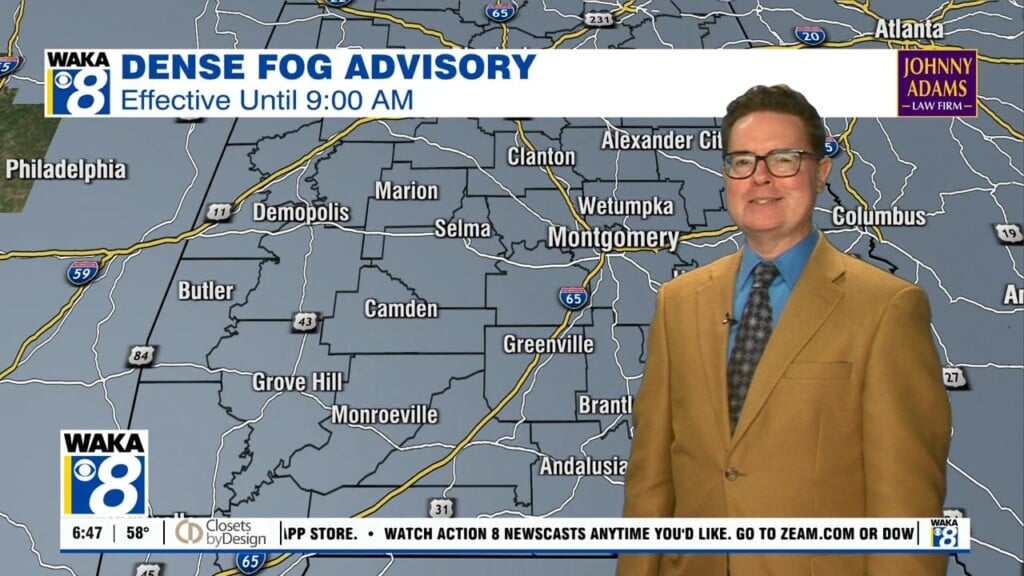
Calm and Colder Weather Patter
FINE-LOOKING FRIDAY: After the cold start, with frosty conditions possible, the final day of the work week will feature tons of sun, with just a few passing clouds expected. Highs today will be in the lower and mid 50s across South/Central Alabama.
THE ALABAMA WEEKEND: Plenty of sun again for our Saturday, and both Saturday and Sunday mornings are going to feature near freezing temperatures. For most of Central Alabama, we should see a range of 28-32 degrees both morning, while afternoon highs in the lower 50s are expected. Sunday the GFS has brought the idea of another front arriving bringing a reinforcing shot of cold air. We could certainly see more clouds Sunday, and the GFS is advertising some light sprinkles over East Alabama, and perhaps some snow flurries overnight Sunday, but with very little moisture to work with, it is going to be hard for anything to materialize.
FOR NEXT WEEK: The weather pattern over the state remains rather calm and tranquil as we roll into next week. With more cold air settling south, Monday should be a rather chilly day with highs in the 40s. Then for the rest of the week, we should begin to see our temperatures moderate as our flow shifts back from the south. Highs return to the 50s Tuesday and likely 60s Wednesday and Thursday. Much next week will feature a mix of sun and clouds and we look to stay dry as well, and no real signs of rain until the following weekend, Feb. 4-5.
Be sure to stay connected throughout the day and night follow me on twitter: @Ryan_Stinnett and Like my Facebook Fan Page “Meteorologist Ryan Stinnett.”
Have a great day and wonderful weekend!
Ryan


