Strong Storms Possible Late Today
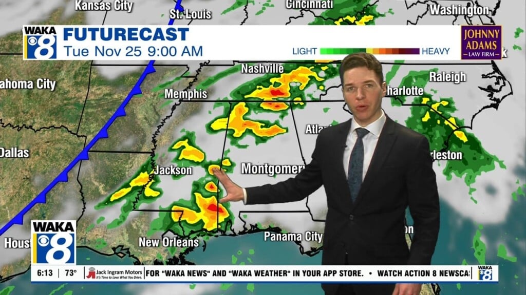
As we head through our Wednesday, a cold front will move into a moist, unstable airmass over Alabama, setting the stage for some strong to severe thunderstorms to impact the state.
The main concern area will be across North Alabama in the Enhanced risk area. The Slight risk area extends as far south as the U.S. 80 corridor, and then a Marginal risk for South Alabama. The main threat of storms will from the cold front come later in the day. For most of South/Central Alabama, the core threat comes between 3:00 and 9:00 p.m.

THREATS: The main issue will be from strong, potentially damaging straight line winds. Large hail is possible with the stronger storms as well. An isolated tornado is possible, not especially likely based on the projected wind profiles. Rain amounts of around 1/2″ are expected; no flooding issues. The line of storms will exit the state quickly this evening and should be completely out of the state by midnight.
TOMORROW/FRIDAY: The weather will feature sunny cool days and clear cold nights. Highs in the lower and mid 60s. Lows well down in the 30s early Friday morning.
THE WEEKEND: Patchy frost is likely early Saturday, with temperatures in the lower 30s. Then, the weekend stays dry with a slow warming trend. The high Saturday will be in the mid 60s, followed by lower 70s Sunday.
NEXT WEEK: Monday will be dry and pleasant, but rain will likely push into the state by Tuesday afternoon and Tuesday night ahead of a cold front. For now it doesn’t look like a severe weather threat. Cooler and drier air will settle in for the latter half of the week.
Have a wonderful Wednesday and stay weather aware!
Ryan


