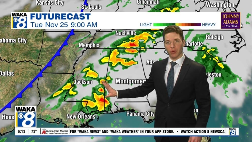
Scattered Showers/Storms Possible
TODAY: A moist air mass is in place over Alabama, and there will be no real forcing mechanism to trigger shower and thunderstorm development, but with the air mass being very moist, a few scattered showers are possible at just about any time today. Expect a mix of sun and clouds and highs in the lower to mid 80s.
VERY WARM WEDNESDAY: Wednesday looks very warm and dry with more sun than clouds, highs will be in the mid to upper 80s and will provide a break in the active weather pattern as we are going to be in between storm systems.
MORE STORMS THURSDAY: After the midweek break, out next round of strong to severe storms is expected Thursday as another low pressure heads our way out of the southern Plains. In their day 3 outlook, which is for Thursday, the SPC has much of Alabama highlighted in a threat for severe weather. The models continue to struggle with a lot of the specifics with this next system, but it does look quite favorable for at least the threat of strong and severe storms in Alabama late Thursday afternoon, evening, and into the overnight hours.
FRIDAY: We will likely start the day off with lingering showers and clouds, but these should be out of here early in the day Friday. Expect a clearing sky, and most of the day will be very nice with a partly sunny afternoon and highs in the 70s. .
WONDERFUL WEEKEND WEATHER: Still looks as though an area of high pressure builds into the state for the weekend, and will give us a break from the thunderstorm activity. Both Saturday and Sunday are forecast to be very nice, with lower humidity, and plenty of sunshine. Highs will be in the 80s and lows will be in the 50s.
GEOMAGNETIC STORM: As predicted, a stream of solar wind enveloped Earth’s magnetic field on March 27th. First contact produced a moderately-strong G2-class geomagnetic storm, with bright auroras around both poles and electrical ground currents detected in the Arctic. More storming is likely during the next 48 hours as Earth moves deeper into the stream and the solar wind pressure intensifies.
INTO NEXT WEEK: The active weather pattern continues, and as we start the first week of April, yet another storm system looks to move into the Southeast, and could possibly bring us our next round of strong storms as we head Monday into Tuesday…must be spring time in Alabama.
Have a Terrific Tuesday!
Ryan


