Unseasonably Warm through Easter
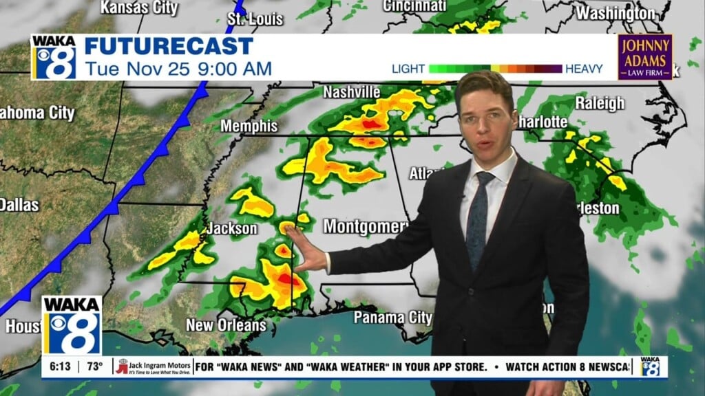
A weak surface boundary approaches the state overnight and will push into South Alabama tomorrow and could bring the chance of a few showers/storms tomorrow. However, due to limited moisture and upper-level support, rain amounts should be light, and definitely no threat of severe weather, but perhaps a few rumbles of thunder. Today and tomorrow will both be warm with highs in the lower and mid 80s, and feature a mix of sun and clouds, with those isolated showers/storms ahead of the boundary.
THURSDAY/FRIDAY: Sunshine will be in full supply these days, and highs will be in the lower and mid 80s. Our overnight lows will be around the 60 degree mark, and overall the quiet April weather pattern from these days will persist into the holiday weekend as well.
EASTER WEEKEND: Both Saturday and Sunday should feature a mix of sun and clouds, and unseasonably warm temperatures; highs in the lower to mid 80s, lows near 60°. Saturday looks to remain dry, but we cannot completely rule out an isolated shower Sunday afternoon, but overall Easter weekend looks to be very nice!
INTO NEXT WEEK: The pattern remains relatively calm into the start of next week, but by the middle part of next week, our chance of showers and storms looks to increase ahead of a frontal boundary slipping into the state. Temperatures looks to remain a little above average, meaning highs stay in the 80s.
Have a great day!
Ryan


