Sunny Today, Storms Return Tonight through Tomorrow
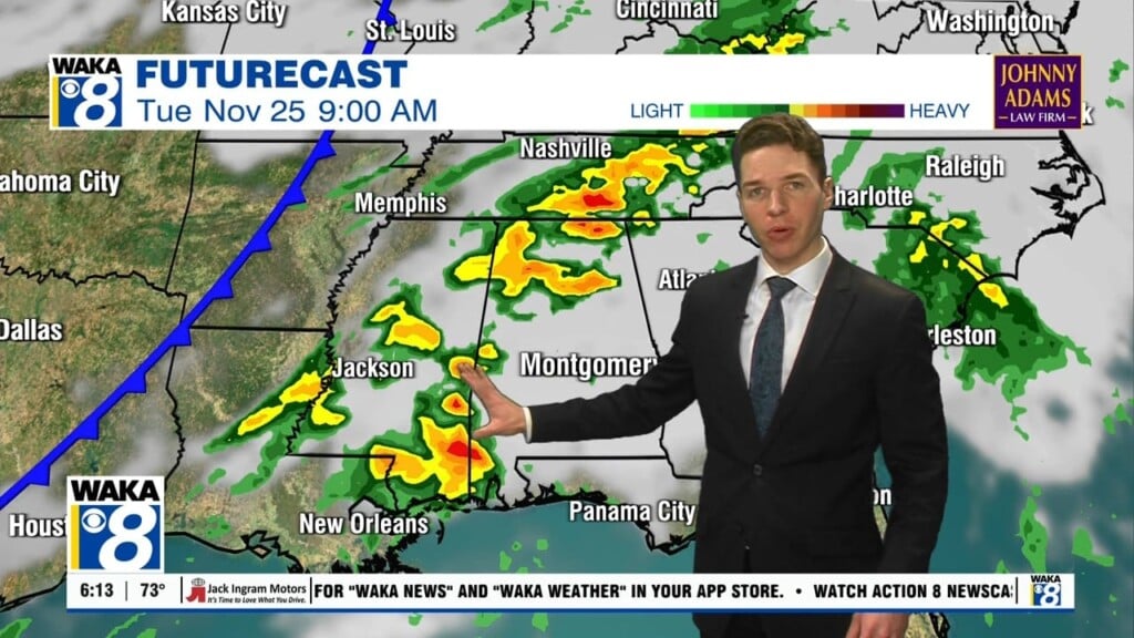
Most of today will be dry with a mix of sun and clouds. It will be a warmer day with our afternoon highs in the mid and upper 80s. Through the day, a storm system will develop west of the state and bring rain and storms back to Alabama late tonight and during the day Thursday. A deepening surface low will pass just north of Alabama, and there is potential for a few strong storms, especially over the southern half of the state.
Here is the latest convective outlook from the SPC. Risk zones are all about the potential, and storms within this risk area, will be capable pf producing small hail and strong gusty winds. An isolated tornado can’t be ruled out as well.

The main window for rain and storms will come from about midnight tonight through much of the day Thursday. It will not rain all day, but we will have periods of rain and a few thunderstorms during this time frame. More beneficial rain is expected as rain amounts of around one inch are likely for the northern half of Alabama, with potential for more over the southern counties of the state. Flooding is not expected to be an issue. The bulk of the rain and storms will exit the state Thursday evening and overnight as the storm system track east of the state.
Though the track of the low is very favorable for severe weather in Alabama, the main limiting factor will be the lack of surface based instability. Definitely some good news as the overall severe weather threat with this event looks fairly low.
FOUL MAY FRIDAY: Not the best of weather days for May, but at least it will be Friday. The day will start off with lingering drizzle/light rain. It will be a cloudy, breezy and much cooler day, and highs will struggle to make it into the mid 60s. Add in a brisk northwest wind at 10-20 mph, and it will be feeling much colder.
FOR THE WEEKEND: The sky will clear Friday night and that will allow for a downright chilly Saturday morning as lows sill be in the lower 40s, while colder spots may very well drop into the upper 30s. After the crisp morning, the rest of the weekend will feature a warming trend as both Saturday and Sunday will feature a sunny sky; highs Saturday will be in those lower 70s, while upper 70 and lower 80s return Sunday afternoon.
INTO NEXT WEEK: A calmer weather pattern looks to return to Alabama next week, and much of the week looks very quiet with a dry airmass in place. We warm back into the 80s early in the week.
Have a great day!
Ryan


