Higher Rain Chances Ahead
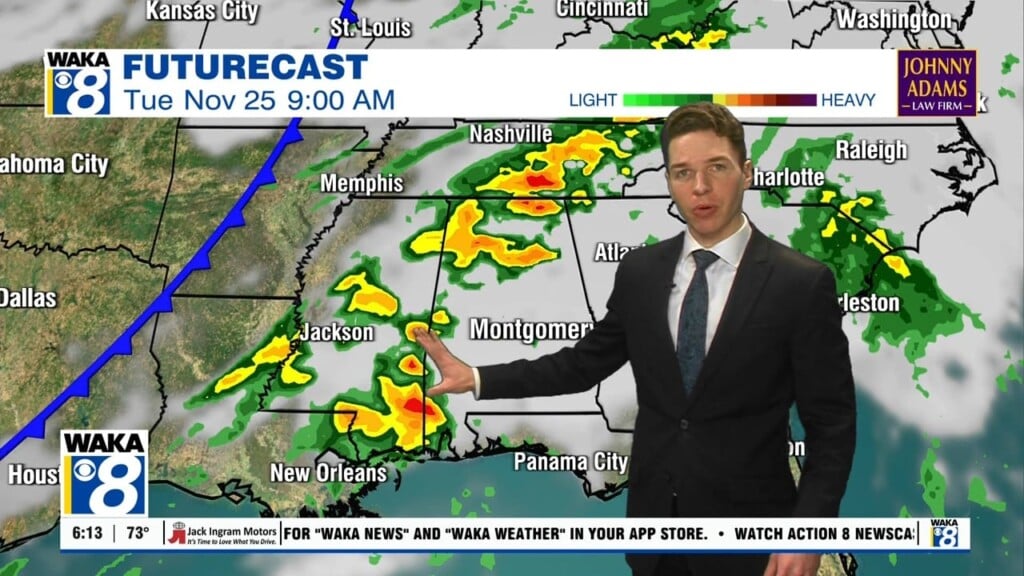
STRONG STORMS POSSIBLE LATER TODAY: Today will feature a mix of sun and clouds with a highs around the 90° mark. We are going to see more numerous showers and storms later this afternoon and the SPC has a severe weather risk defined for about the northern two-thirds of Alabama. This morning we are watching an area of storms northwest of Alabama which will move into Alabama later today. The strongest storms should be over northern portions of the state, but we can not rule out a few strong storms over southern portions of the state as well. Highest severe weather threat seems to be from about 3:00 until 9:00 p.m.

TOMORROW THROUGH THE WEEKEND: Moist, unstable air will stay in place, and we will forecast some pretty classic early summer weather on these three days. Partly sunny with the risk of scattered, mostly afternoon and evening showers and thunderstorms along with highs in the upper 80s to lower 90s. Afternoon storms will be random; no way of knowing in advance exactly when and where they will pop up. Best chance of a storm will come from about 2:00 until 9:00 p.m. daily.
NEXT WEEK: A surface front will creep into North Alabama Monday with showers and storms possible; then showers should become fewer in number Tuesday and Wednesday as drier air tries to slip into the state from the north.
TROPICS: One low latitude disturbance in the far eastern Atlantic will move westward in coming days with only low odds of development. And, global models continue to show a tropical low in the far Southwest Gulf of Mexico next week; no sign of it moving northward. Instead, odds are this feature will drift slowly westward toward the coast of Mexico if anything develops in that region.
Have a splendid day and stay cool!
Ryan


