Dry Morning, Hot Afternoon with Scattered Storms
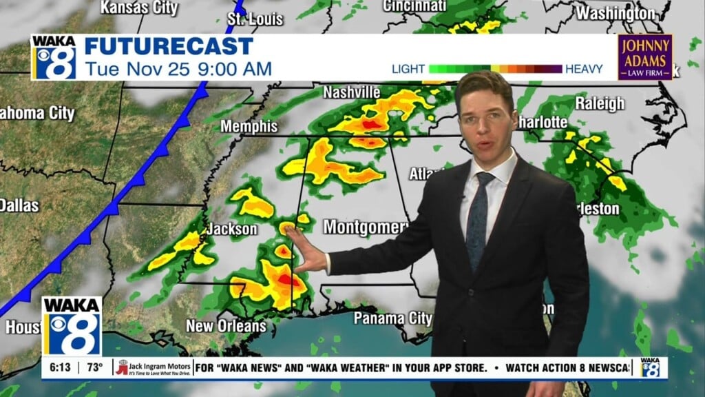
Today through Friday, daily rain chances remain as out moisture levels will continue to slowly rise. That means typical summer weather for Alabama and we are expecting hot, humid days with a mix of sun and clouds. Also, you can expect scattered, mainly afternoon and evening showers and thunderstorms, which will be greatest in coverage roughly from 2PM-9PM, and then quickly winding down after the sun goes down. Of course storms this time of year will produce tremendous amounts of lightning, gusty winds, and tropical downpours. Afternoon highs will be in the lower to upper 90s for most communities and higher dew points will make the heat more uncomfortable as well. Tomorrow and Friday, some locations may see a heat advisory issued as heat index values could reach 105°.
TOPIC TROPICS: Not much to going on in the Atlantic, and no development is expected through the upcoming weekend. Of course, we are still early in the season and we still have a long ways to go in the coming months and every system will need to monitored.
THE ALABAMA WEEKEND: Both Saturday and Sunday will have morning sunshine then the risk of afternoon/evening showers and storms; no way of knowing in advance exactly when and where these pop up and they will move randomly about the Alabama landscape. You can expect the greatest coverage of these during the peak heating of the day. Highs will be in the lower 90s each day. A weak surface front could bring an increase in the number of storms to the northern counties Saturday and into Sunday.
INTO NEXT WEEK: The models continue to suggest that drier air will creep southward into the northern half of Alabama early in the week behind the front. This would mean fewer showers and slightly lower humidity levels, but once again, it is very hard for a surface front to make it this far south this time of year, so we are going to have to wait and see.
Have a wondrous Wednesday!
Ryan


