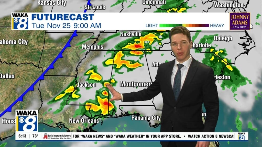
Better Rain Chances to Start the Week
A weak front is pushing down into Alabama today and should enhance uplift over the state today and tomorrow. It will allow for a higher coverage of rain and storms for Monday and Tuesday, 50-60% range. Highs these two day will be in the lower 90s due to the increase in clouds and rain.
SECOND HALF OF WEEK: The weak boundary will push down to the south and Wednesday through Friday rain chances back down some a look to return to more of a summertime average around 30% each day: greatest coverage of storms will come during the afternoon and evening hours. We should see temps a bit warmer with lower to perhaps mid 90s, and we may have some more heat advisories issued later in the week.
WEEKEND SNEAK PEEK: Not a lot of change in the overall pattern into the weekend, but the models are hinting at another weak boundary making it into the state. This could yield better rain chances as we roll into the weekend and accordingly, we are going to increase our rain chances from isolated to scattered. Highs look to hold back into lower 90s.
Have a magnificent Monday!
Ryan


