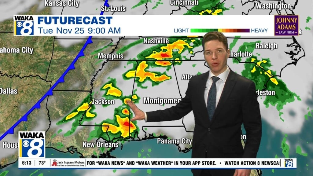
Thursday Noon Update: Showers and Storms Developing
A CASE OF THE MUGGIES: Yuck, with dew points in the mid 70s in many locations, it is just downright sticky out there according to the muggy meter; at least it is not as hot as it could be this time of year. We will continue to have the threat for scattered to numerous showers and thunderstorms across Central Alabama through the day, but especially during the afternoon and evening hours.
FRANKLIN MAKES LANDFALL AS A HURRICANE: At 400 AM CDT, the center of Tropical Storm Franklin was located near latitude 19.9 North, longitude 97.6 West. Franklin is moving a little south of west near 15 mph and this motion is expected to continue today. On the forecast track, the center of Franklin should continue to move across eastern Mexico today. Maximum sustained winds have decreased to near 70 mph with higher gusts. Additional rapid weakening is expected as Franklin moves across eastern Mexico, and the cyclone is likely to dissipate late Thursday or early Friday. Tropical-storm-force winds extend outward up to 115 miles mainly to the northeast of the center. The estimated minimum central pressure is 992 mb (29.30 inches).
ELSEWHERE IN THE TROPICS: Two other features we are watching. Feature one is an area of showers and thunderstorms associated with a trough of low pressure located about 250 miles northeast of the northern Leeward Islands remain limited in extent and organization. Some slow development of this system is possible by this weekend while the trough moves northwestward over the western Atlantic. Formation chance through 5 days…40 percent.
FEATURE TWO: A trough of low pressure over the Bahamas and the Florida Straits is producing disorganized shower activity. Although development appears unlikely, this system could bring areas of heavy rain to portions of the Bahamas and Florida during the next day or two. Formation chance through 5 days…10 percent.
TOMORROW: Little change in our weather pattern and we are forecasting more of the same. As the boundary continues to meander about the Southeast, we are going to keep rain and storms in the forecast. Rain will be possible at anytime due to the very moisture-rich air mass, but greatest coverage will occur during the peak heating of the day. We should see a few more peeks of sunshine later in the week, and highs are expected to range from the mid to upper 80s with some lower 90s possible in spots. With more sun, we could see higher instability values and that could also lead to a few stronger storms Friday. The SPC does have much of North/Central Alabama highlighted in a “marginal risk” (level 1 of 5) for severe storms on Friday. Rainfall totals of 1-2″ are possible through Friday.
THE ALABAMA WEEKEND: Still no real change in the weather pattern over the state. We will stick with the forecast from the work week with scattered to numerous showers and storms both days. There will be some sun along the way and that should allow highs in the mid to upper 80s, but once again, it will be rather muggy. With the continued clouds and threat of rain, still no worries about oppressive heat and certainly no drought issues.
INTO NEXT WEEK: I did like what I was seeing from the GFS as it at least suggested we could see drier air by the middle of the week, but it has backed off that idea. Unfortunately, we are going to stick with a persistence forecast; scattered, and possibly numerous showers and storms on a daily basis with highs generally in the upper 80s. As some point we are going to see a pattern change and have dry days return for all you folks tired of the clouds and rain. The rain is good news, as it is keeping temperatures in check for August, and it also wasn’t that long ago much of the state was gripped in a severe drought.
Have a great day!
Ryan


