Changes Behind a Midweek Front
FOR LABOR DAY: More of the same for today with yet another terrific morning with temperatures well down into the 60s. The day will feature plenty of sunshine and afternoon highs in the upper 80s with a few low 90s possible. Usually we are dealing with hot and humid weather with afternoon storms, not the case this year, and once again one of the best Labor Days in quite a while. A few isolated showers are possible across southern sections of the state.
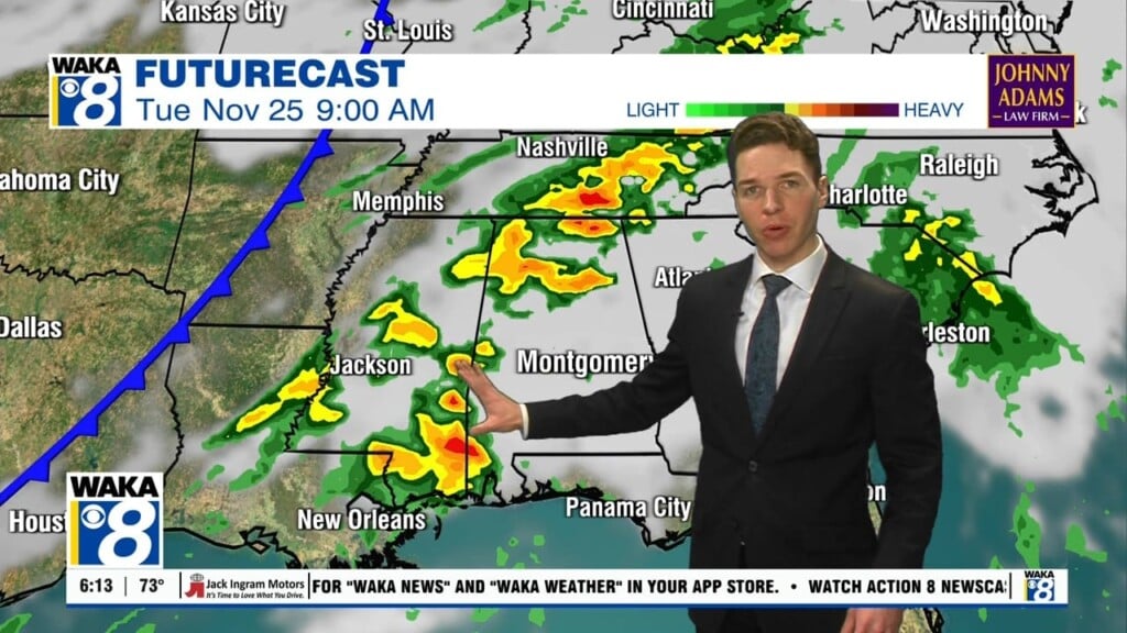
MIDWEEK FRONT: A deepening trough over the eastern half of the U.S. will cause a cold front to head towards Alabama and this front approaches late Tuesday and into Wednesday. We are going to see an increase in our showers and storms along the front, but severe weather is not expected. Rainfall totals are not impressive either, generally less than half an inch, as there will be limited moisture return ahead of the front.
LATE WEEK COOL DOWN: Behind the front, a very nice and refreshing air mass arrives in Alabama with lower humidity and cooler temperatures. Both Thursday and Friday will feature plenty of sunshine with highs dropping into the upper 70s and lower 80s, while lows will be in the 50s.
HURRICANE IRMA: At 500 AM AST, the eye of Hurricane Irma was located near latitude 16.9 North, longitude 52.3 West. Irma is moving toward the west-southwest near 14 mph. A turn toward the west is expected later today, followed by a west-northwestward turn late Tuesday. On the forecast track, the center of Irma will move closer to the Leeward Islands through Tuesday and then be near the northern Leeward Islands Tuesday night. Maximum sustained winds are near 115 mph with higher gusts. Irma is a category 3 hurricane on the Saffir-Simpson Hurricane Wind Scale. Some strengthening is forecast through Tuesday night. Hurricane-force winds extend outward up to 30 miles from the center, and tropical-storm-force winds extend outward up to 140 miles. The estimated minimum central pressure is 961 mb (28.38 inches). The trough over the eastern portions of the country should begin to impact the potential path of Irma and begin to pull the system towards the north, which would mean more of threat for the Atlantic Coast of the country instead of the Gulf Coast. Of course, still plenty of time to watch the system, and way too early to know where the system could be heading.
WEEKEND SNEAK PEEK: By next weekend, the forecast will likely depend on the placement of Irma. If the system remains to the east of us, the counter-clockwise flow around the system would only reinforce the dry, continental air mass over the state. At this time, we are going to go with that solution, meaning sunny, dry, and very comfortable weather for Alabama.
ELSEWHERE IN THE TROPICS: A tropical wave located several hundred miles southwest of the Cabo Verde Islands continues to produce disorganized showers and thunderstorms. Environmental conditions are expected to be conducive for gradual development, and a tropical depression will likely form later this week while the system moves west-northwestward at 10 to 15 mph over the tropical Atlantic Ocean. Formation chance through 5 days…70 percent.
A trough of low pressure located over the southwestern Gulf of Mexico is producing disorganized showers and thunderstorms. Some slow development of this system is possible during the next few days while it drifts northwestward. Formation chance through 5 days…30 percent.
Next two names on the list are Jose and Katia.
Have an amazing Labor Day!
Ryan


