No More Nate, but Clouds and Rain Remain
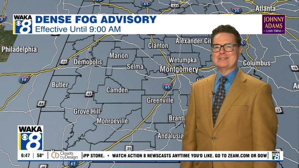
A very warm and humid day can be expected throughout your Monday, this will leave us primed for scattered showers and storms throughout the day. Afternoon highs will be in the lower to mid-80s across the area, but with dewpoint values in the 70s, it will feel much warmer than that. If your in to percentages, the chance of rain will be in the 70-90% range from north to south. Totals of 0.25 to 0.50 inches will be possible, with some locations possibly receiving slightly higher amounts.
THROUGH MIDWEEK: The sea of moisture continues to hover over Central Alabama through the first half of the week, and with the daytime heating, it will not take all that much for more showers to fire at anytime during the day on both Tuesday and Wednesday. Dewpoints will continue to hover in the lower to mid-70s, making the high temperatures on both days feel much warmer. Afternoon highs on both days will be in the low to mid-80s in the north with mid to upper 80s in the south. Rain chances will be likely on Tuesday, with slightly lower chances on Wednesday.
DRIER CONDITIONS TO END THE WORK WEEK: Late on Wednesday, a cool front will move through the area bringing with it drier air but not cooler temperatures. We may have an isolated shower or two on Thursday, but expect mostly sunny skies at this point for Friday. Afternoon highs will top out in the lower to mid-80s. Maybe a cloud or two, and temperatures in the 70s.
THE ALABAMA WEEKEND: We can expect a pretty decent weekend for Central Alabama with warm temperatures and mostly sunny to partly cloudy skies. There may be just enough moisture in the atmosphere to squeeze of an isolated shower or two on Sunday afternoon, but odds at this time look very small. Highs should top out in the mid to upper 80s.
Have a great day!
Ryan


