Noon Update: Welcome to December, Much Colder Air Arrives Next Week
Highs today should be in the mid and upper 60s to lower and mid 70s for much of South/Central Alabama under a sky with more clouds than sun.
FRIDAY NIGHT LIGHTS: For the high school playoff games this evening, the sky will be mostly cloudy with temperatures falling through the 50s.
FIRST WEEKEND OF DECEMBER: For both Saturday and Sunday we should continue to see a mix of sun and clouds with highs generally in the upper 60s to lower 70s. Nights will be fair and cool with lows in the upper 40s and lower 50s for most locations.
FOOTBALL WEATHER: For Auburn fans headed to Atlanta and the SEC Championship game Saturday against Georgia (3p CT kickoff)… no weather worries, of course, inside Mercedes-Benz Stadium, but for those walking to the game the sky will be mostly cloudy; afternoon temperatures should be in the 60s.
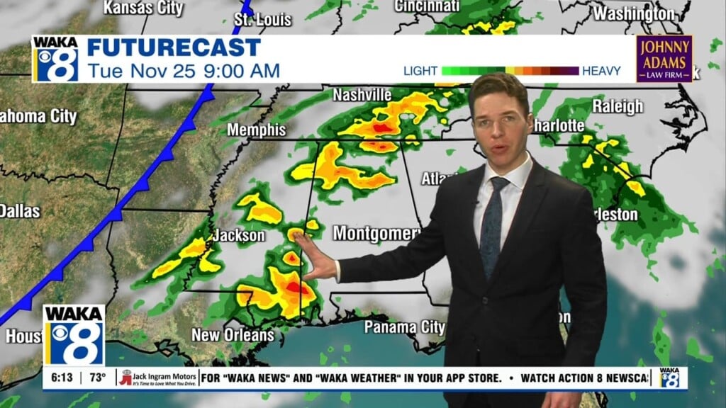
BIG CHANGES AHEAD: Next week starts off dry, but a cold front will be diving south and move through the state during the Tuesday-Wednesday time frame. Ahead of the front, showers and storms are expected and there could be the possibly of a strong storm or two, but at this time, severe weather does not appear to be in the forecast. We should all see a very beneficial, soaking rain with rainfall totals of one-half to one inch expected. A deep trough will be the forcing behind the front and this trough will bring the coldest air so far this season into the eastern portions of the U.S. As the front and rain exit the state on Wednesday, this cold air settles down into Alabama and the rest of the Southeast. By next Thursday and Friday, it appears highs will only be holding in the upper 40s to lower 50s and lows could be at or below freezing for much of Central and South Alabama.
DEEPER INTO DECEMBER: The medium and long range global models still suggest the trough remains in place through much of the month of December, meaning much of December in Alabama looks to be on the colder side.
Enjoy the weekend warmth!
Ryan


