Noon Update: Big Weather Changes this Week
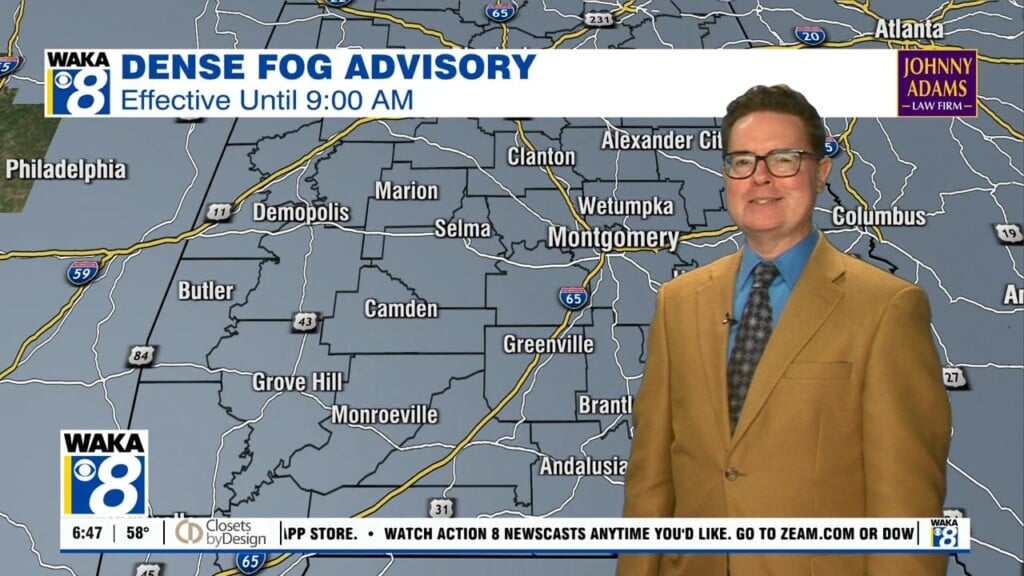
APPROACHING COLD FRONT: We are all waiting on the Arctic cold front which will bring a band of rain and thunderstorms into the state late Tuesday and Tuesday night. Rain amounts of 1/2 to 1.5 inches can be expected, and for now we still do not expect any issues with severe thunderstorms as the main dynamics will be well north of Alabama. Then, much colder air rolls into the state Wednesday with highs struggling to climb into the 50s with gradual clearing. Thursday and Friday look cold and dry with highs mostly in the 50s and lows the 30s.
WEEKEND SNEAK PEEK: Very cold air will persist into next weekend and it looks like a reinforcing shot of colder arrives for the weekend. Next Saturday may very well be the coldest day of the season so far this season. The latest GFS model output shows highs possibly hovering in the 40s all day long. The GFS also shows a low next Sunday morning of 24 for Montgomery so definitely a very cold weekend of weather. The weekend will be dry and we should see a bit warmer temperatures on Sunday with highs in the 50s. We have been saying it all week, the pattern shift is going to allow December to remain rather cold for at least the eastern third of the nation.
Have a great day!
Ryan


