Wonderful Wednesday, Rain Returns Tomorrow
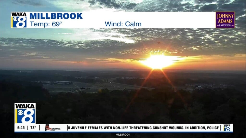
SPECTACULAR SPRING WEATHER: Tons of sunshine and blue sky across Alabama today and today should be our best day of weather this week. It will be very nice with ample sunshine and highs in the mid 70s for most of South/Central Alabama.
THURSDAY/FRIDAY: Clouds will begin to increase Thursday and we will bring the chance of showers and thunderstorms back into the forecast Thursday afternoon and Thursday night as an upper trough approaches causing a low pressure to develop. This storm system will cause strong and severe storms to our west tomorrow and the SPC has extended their “Day Two” convective outlook (which runs through 7:00 a.m. Friday), eastward into Alabama. The standard “slight risk” (level 2/5) of severe thunderstorms is to the west of Alabama, while a “marginal risk” (level 1/5) is as far east as Tuscumbia, Birmingham, Montgomery, and Enterprise.
Of course with any storm system this time of year, a lot can and will change, but it still looks like the greatest risk for severe thunderstorms will be west Alabama, but there is enough of a threat that we will need to stay weather aware as some of the stronger storms could produce some hail, and strong gusty winds as the storms move into the state later tomorrow.
The rain and storms should come to an end Friday morning, but as we head through the day additional scattered showers and storms will be possible; Friday’s high will be in the upper 70s.
THE ALABAMA WEEKEND: Over the weekend a warm and moist air mass will be in place across Alabama; we should see more clouds than sun Saturday and Sunday with highs in the upper 70s to lower 80s. Through the day Saturday there is the risk of scattered showers and thunderstorms, but no “wash-out” by any means. On Sunday showers and storms should become more numerous as another approaching trough provides upper-level support and with plenty of instability to work with, we could see strong and perhaps severe storms Sunday afternoon and night. Still a lot to watch with this potential in the coming days.
INTO NEXT WEEK: Rain and storms should come to an end Monday and drier air moves back into the state for Tuesday and Wednesday. These two days look to be dry with more sun than clouds; highs should be in the upper 70s.
Have a wondrous Wednesday!
Ryan


