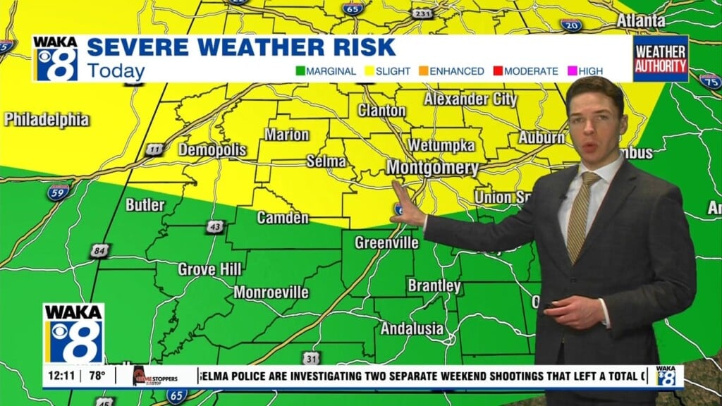
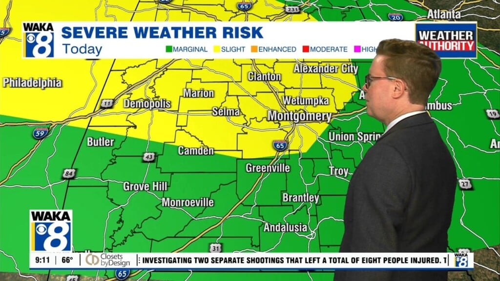
A gradual warming trend with scattered afternoon showers and storms will be the setup going forward through the work week. An upper level disturbance is hanging over eastern TN and close enough to circulate lift for showers over areas just north of us. The circulation around the low is providing most of our area dry air for now. Mean while, a frontal boundary situated along the gulf coast will come into play for showers to work through the area overnight. This front will linger and keep the chance of afternoon showers and t-storms through the week. It will become a more summer-like pattern and it sticks around into early next week. Basically, you get daytime heating of 90+ degree heat leading to those late afternoon showers/storms.


