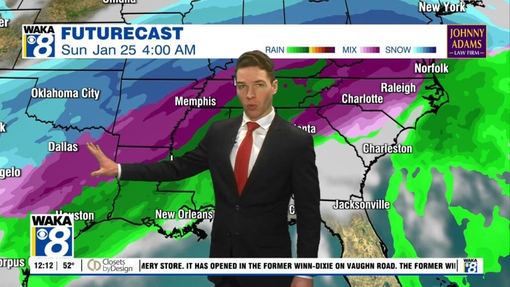
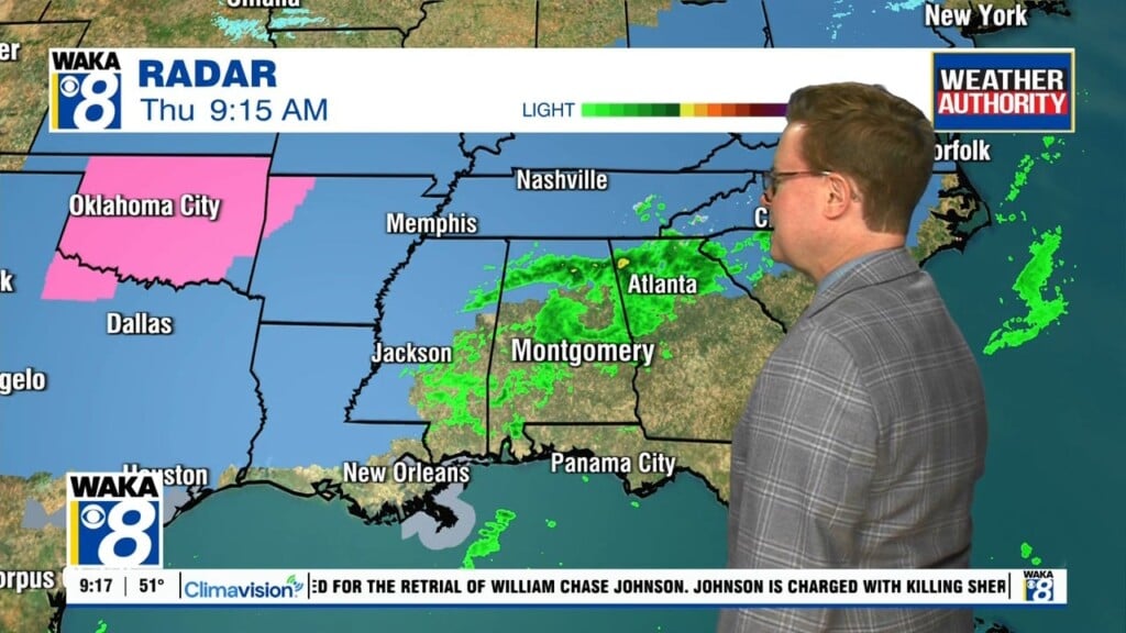
Showers & Storms Thursday
Remnants of Beta will be making a run at us Thursday. The system will be passing to our north but the circulation around it will draw deeper moisture into the area. As a result, we expect showers and storms to move through here. Some of the storms could be strong and possibly severe. The main threats will be damaging winds and possibly a few tornadoes. Rainfall potential with this system will range between .50 to 1 inch. Areas northwestward could see a little more. Our weather settles into a warm and milder pattern Friday through early next week. Rain chances decrease while temps increase. Isolated showers can’t be ruled out but most spots remain dry. Highs return to the mid 80s for several days. A frontal boundary moves into the deep south around the middle of next week. This front will bring in a refreshing round of cool/dry air. Temps respond with highs in the 70s and lows in the 50s. This should give us a good taste of fall heading into the latter half of next week.