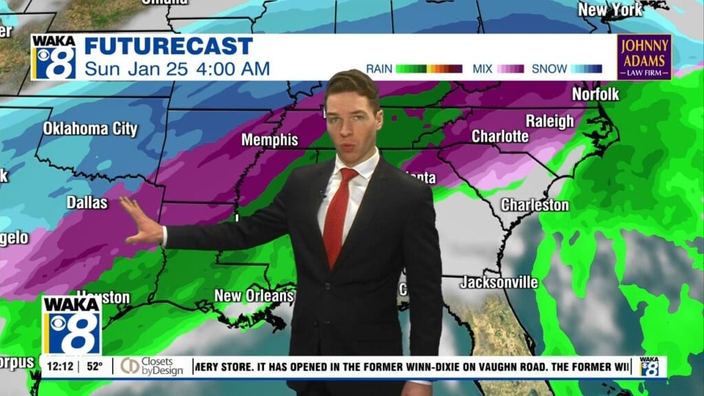
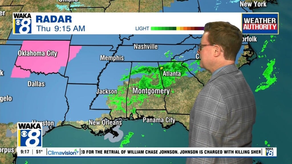
Rain/Storms Thursday Into Friday
A very mild weather pattern is in place for now but changes are on the way! An area of low pressure along with a frontal boundary continues to slowly move eastward in our direction. High pressure overhead now will retreat to our east and allow the storm system to move through our area Thursday evening into Friday. We expect rain and storms with some of the storms possibly strong to severe. The main threats will be damaging winds up to 60 mph and some tornadoes possible! Rainfall potential is roughly 1 to 2 inches. The storms should be mainly in east Alabama shortly after noontime Friday. The rest of the afternoon will be windy but still rather warm. A surge of cooler air will come in over the weekend. Highs drop back into the upper 50s to lower 60s and overnight lows fall into the mid to upper 30s. High pressure moves back over the region and that puts under a mainly sunny and dry weather pattern most of next week.