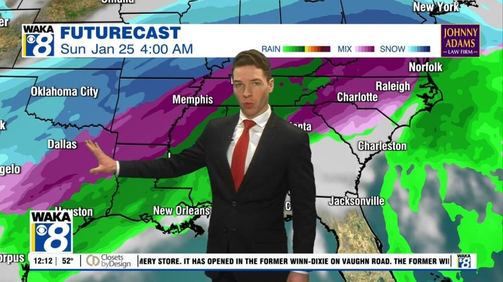
An Active Weather Pattern Ahead
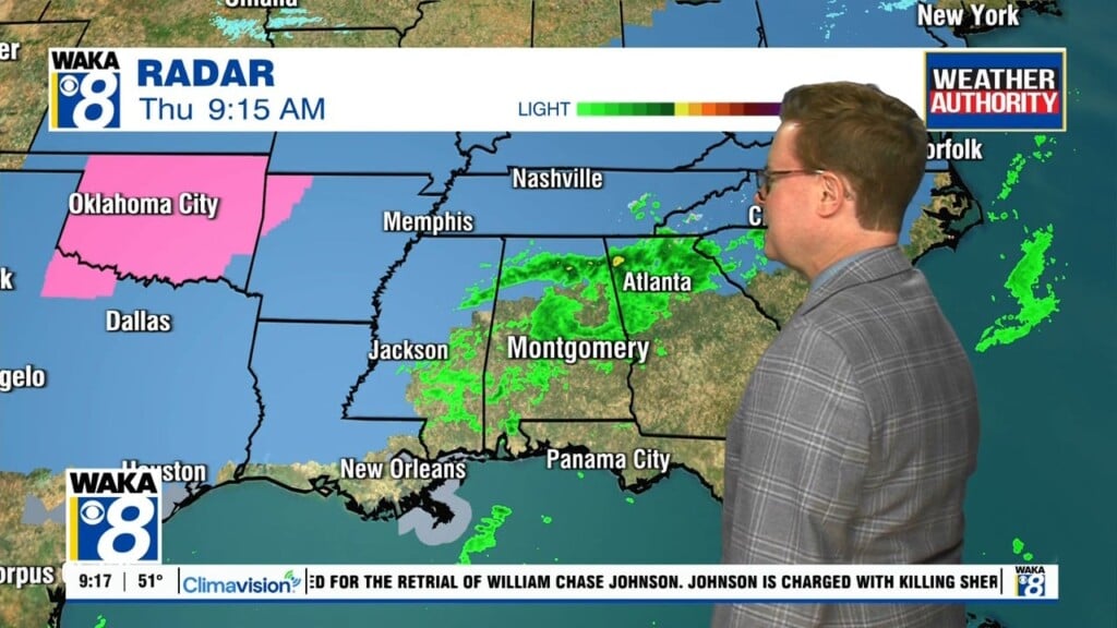
We head into the evening hours with a weak disturbance approaching. It’s mainly bringing clouds along with a slight chance of a few sprinkles. It quickly moves out and we’re starting out in the lower to mid 40s Tuesday morning. You can expect plenty of sunshine and temps fairly mild Wednesday. Afternoon highs will manage lower to mid 60s. It continues quiet for Wednesday. We start out cold with lower to mid 30s and afternoon highs in the upper 50s to lower 60s. Another disturbance will work through the area Thursday into early Friday. This will be a rain maker for us. We’re in between systems Friday afternoon through early Sunday. High pressure will be the main weather feature overhead. We expect sunshine mixed with clouds and temps in the 50s for highs and lows in the lower 30s. An interesting weather setup is taking shape late Sunday into Monday. A gulf low pressure system will transport moisture into the state. If cold air can be in place, we could flirt with a wintry precipitation threat Sunday night into Monday. Forecast models are hinting at something but for now we just watch a see if the trends continue for a few more days.