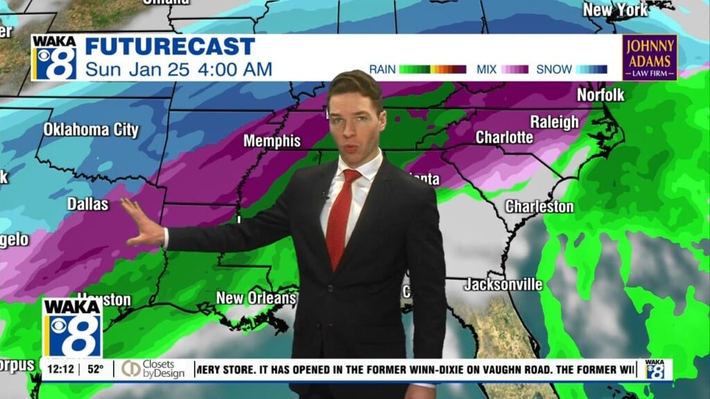
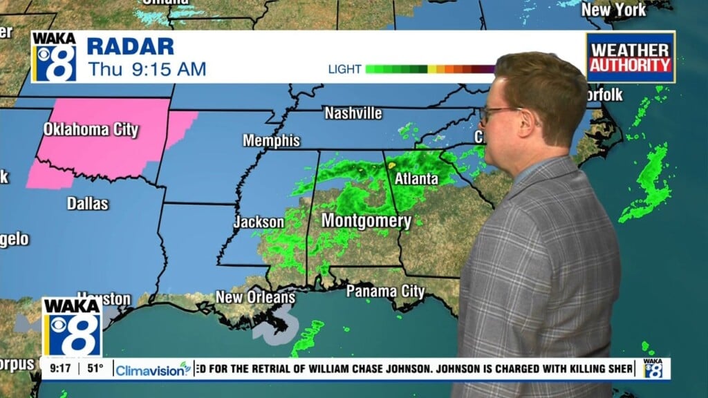
Rain Lingers Into Wednesday
Our active weather pattern continues with more rain working through the area tonight into Wednesday. It will be mainly rain but a few storms can’t be ruled out at times. The clouds and rain gradually move out as a cold front sweeps through the state Wednesday afternoon. Drier/colder air invades the region for a couple of days. Nights will be cold with temps dropping into the upper 20s to lower 30s through Saturday morning. Another frontal system will make a run at the state over the weekend. Rain returns Saturday night into the first half of Sunday. The air mass will have warmed and that allows temps to top out in the upper 60s to lower 70s Saturday and Sunday. The rain maker departs and we’re back to sunny and dry conditions early next week. High pressure builds over the deep south and our weather settles down for several days next week.