A Warming Trend Ahead
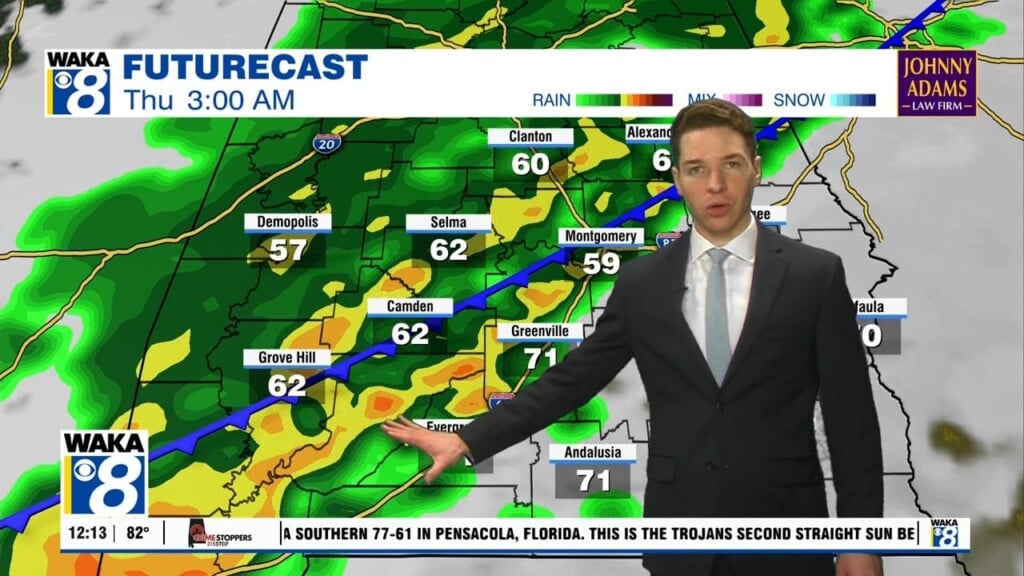
High pressure is now over the deep south and this will provide us a couple nice days ahead. We’re under a clear sky and lighter winds overnight. This will allow temps to plunge into the upper 20s to lower 30s for lows. Abundant sunshine is on tap for Wednesday. High temps climb into the mid to upper 50s for highs. The warm up continues as temps reach the low to mid 60s Thursday. That will do it on the warming for this week. Another front heads south and brings rain into the area Thursday night into Friday. It’s an all rain event as temps hover in the mid to upper 40s. Rainfall potential looks to be under a quarter of an inch. We see another frontal boundary moving into the area Saturday night into Sunday. More rain will accompany the boundaries passage through the state. It’s looking like light rain amounts with this one as well. Colder air spills into the deep south behind the frontal system. Low temps head down into the upper 20s to lower 30s early next week. High pressure returns overhead so you can expect sunny days along with clear and cold nights.


