A Nice Warm Up Tomorrow
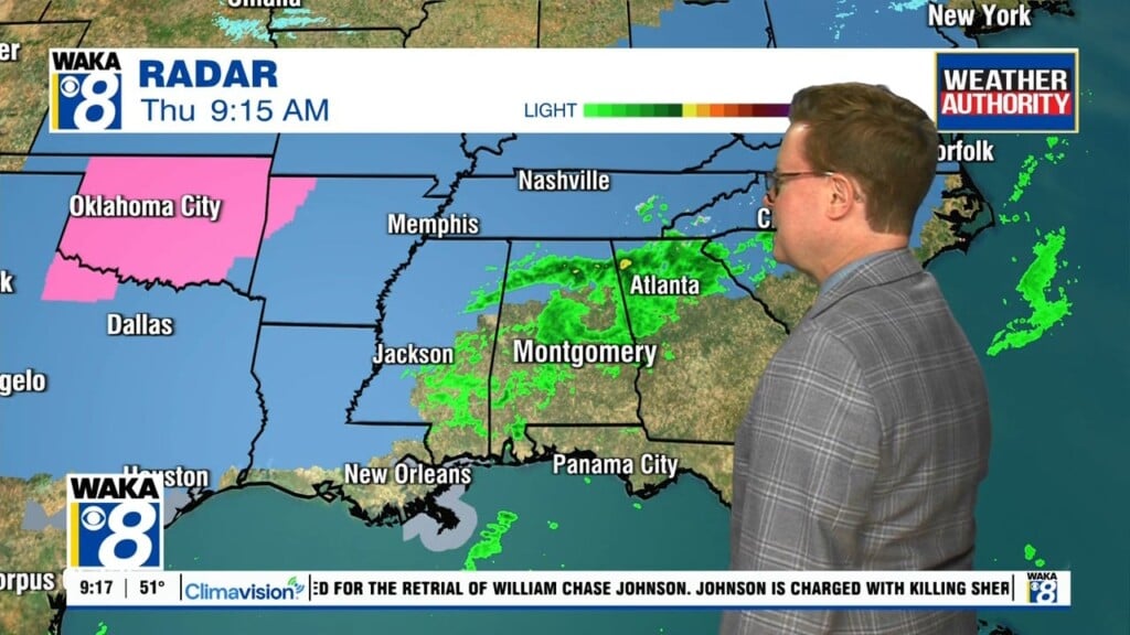
We continue under the influence of high pressure. This will help keep the skies mainly clear and temps cold overnight. Temps will start out in the lower 30s Thursday morning. The high pressure ridge slides a little farther to our east giving us a warmer southerly wind flow Thursday afternoon. Temps respond with highs in the mid to upper 60s. That southerly flow also brings in moisture and showers are possible Thursday night into Friday. Nothing heavy with this system as it passes through the state. Rainfall amounts will be light. The next system comes through Saturday night into early Sunday. Again rainfall amounts are expected to be light. Temps will be about average with highs in the 50s and lows in the 30s over the weekend. Another brief warm up is ahead for early next week. Monday and Tuesday are both in the 60s for highs. More rain works into the area Tuesday afternoon into early Wednesday. We’re thinking a surge of colder air will spill into the region Wednesday night into Thursday of next week.