A Rainy Weather Pattern Continues
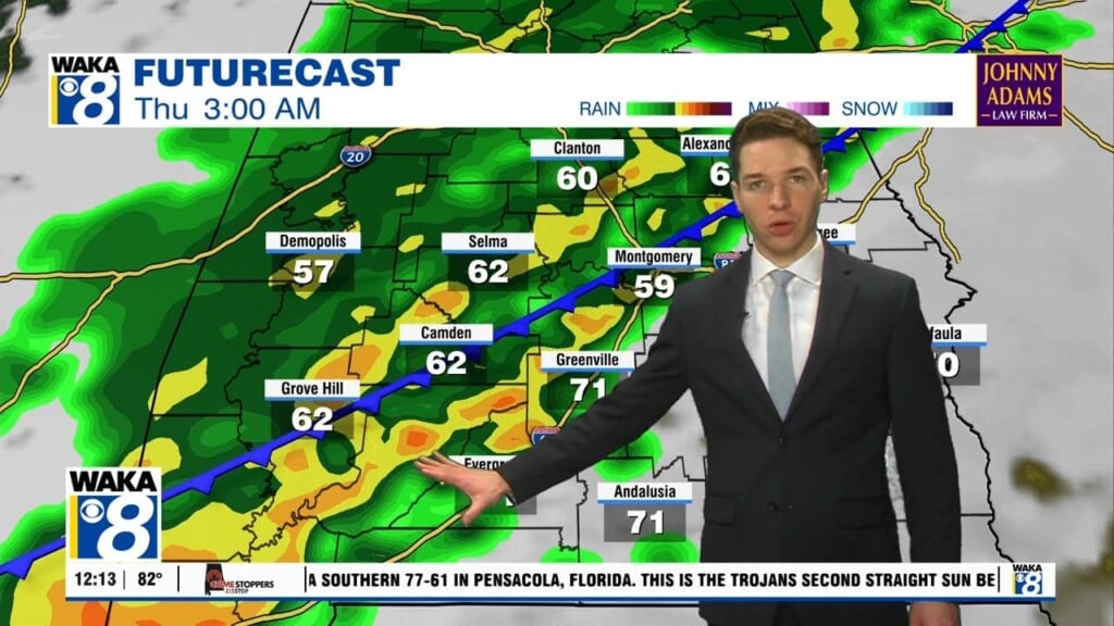
Keep the rain gear handy until further notice! A very active weather pattern remains over the region through late next week. Rain is likely tonight and more moves through the area Friday. It will come from and area of low pressure moving along a frontal boundary sitting stationary to our south. A few more lows will work along this boundary over the weekend and early next week. We expect periods of rain with significant rainfall amounts possible. Model data is suggesting rainfall potential of 3-6 inches through next Thursday. Each system that moves through could drop a couple of inches. Temps during this rainy pattern will remain well above freezing. The only threat for any wintry precipitation potential would come early Tuesday morning. Some cold air could tap into the rain just as its departing to our east. Another rain maker moves into the area next Thursday. Looks like its out of here by Friday. High pressure moves in behind the system and much colder air settles over us going into that weekend.


