Cloudy & Wet Weekend
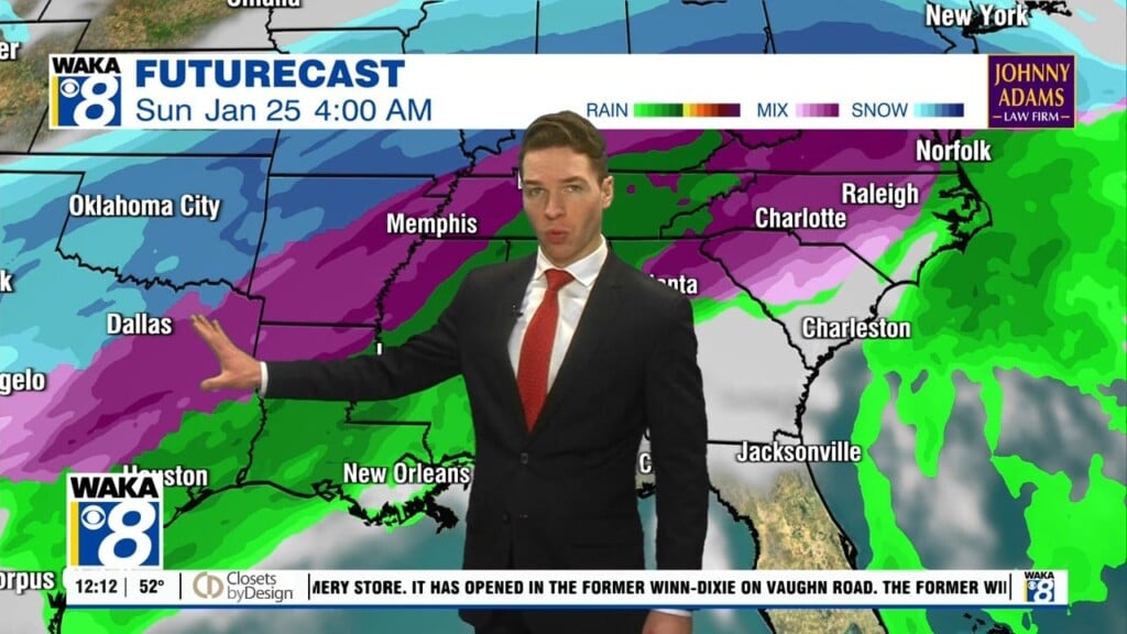
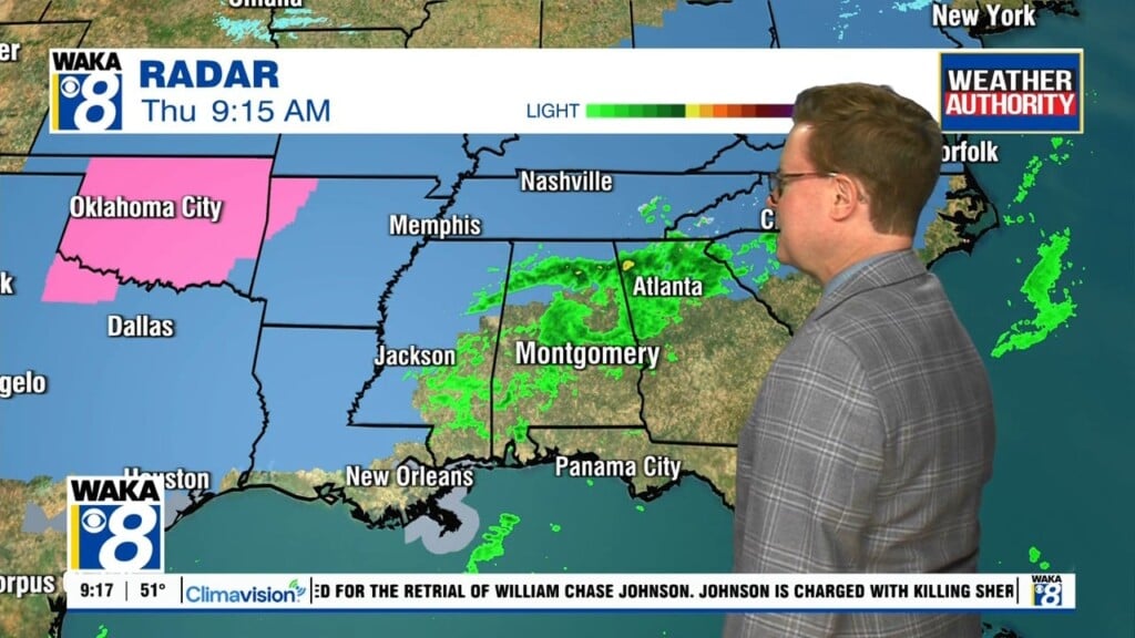
Very little changes coming our way weatherwise this weekend. Cloudy and wet conditions will stick around and we’re heading into more active weather next week. A frontal boundary remains stationary across the northern panhandle. Disturbances will move along this boundary and bring rain our way with each passing wave. Showers are likely throughout the weekend. Temps will hover in the 50s for highs and lows in the 40s. The last in a series of rainmakers will move through the area Monday night into early Tuesday. For most of us it’s a rain event but we could be looking at a brief wintry threat western areas Monday night into Tuesday morning. Colder air will be coming in just as the precipitation is moving out. There could be just enough of a window for a change over to light freezing rain extreme west Alabama. By sunrise Tuesday, we’re precipitation free and we could even get some sunshine overhead. We get a brief opportunity to dry out before the next round of rain moves in late Wednesday into Thursday of next week.