Below Freezing Overnight
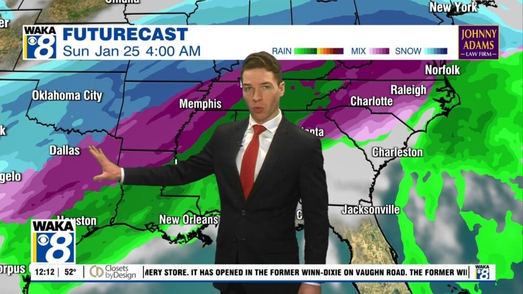
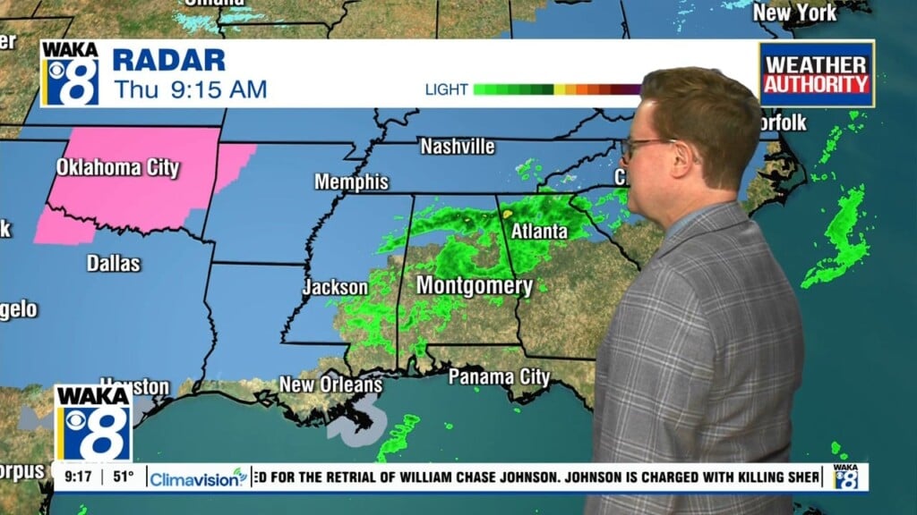
An Arctic air mass remains in place across the deep south. This will give us another very cold night, although not as cold as last night. The winds have relaxed quite a bit, so wind chills won’t be a big issue. Temps will still manage to fall into the lower to mid 20s for lows. You will need to keep the pets inside and make sure pipes are protected from this cold. We head into Wednesday with mostly sunny and dry conditions for most of the day. Moisture does return during the afternoon and we’re looking at showers going into the evening hours. Another frontal system will be working across the state Wednesday night into Thursday. Rain and storms are likely as the front moves through our area. Some of the storms could be strong possibly severe early Thursday morning. The storm system departs later Thursday and we’re back to a mostly sunny sky Friday. A surge of colder air will move in and temps only manage the upper 40s for highs Friday afternoon. We drop into the mid to upper 20s overnight but with sunshine temps recover nicely into the upper 50s Saturday afternoon. The warming trend continues into Sunday. Highs will reach the mid to upper 60s. Thinking we’re setting up for a pretty decent weekend weatherwise.