Rain/Storms Overnight!
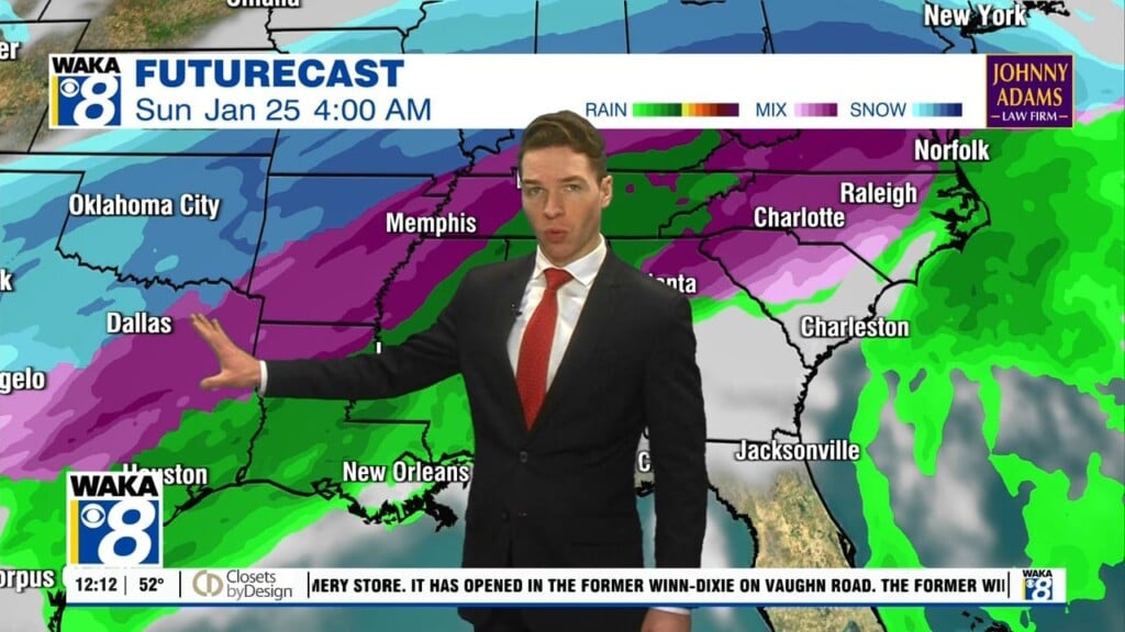
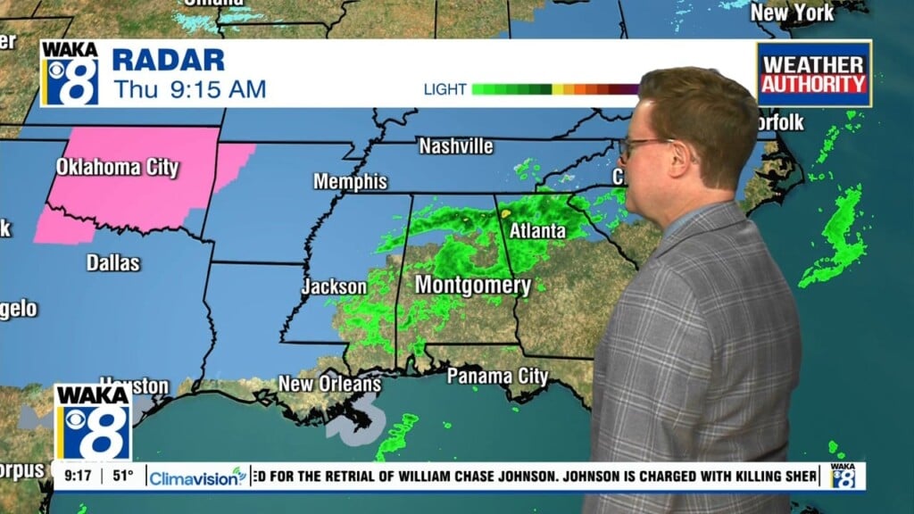
An area of low pressure will work its way across the southern part of the state overnight. The track will draw lots of gulf moisture into our area. This will lead to a soaking rain event overnight into early Thursday. Fortunately for us, the cold air is staying out of our area but just north and west of us, it will be wintry mix overnight.Once again, travel will be hazardous over north Alabama. Back here, rain and storms work across the area through the night. Some of the storms could be strong maybe even severe across our southern most counties. The rain moves out but the clouds linger over us Thursday. Temps still manage to reach the low to mid 50s for highs. Colder air returns Thursday night into Friday. Temps start out in the low to mid 30s Friday morning. Afternoon highs may only reach the mid to upper 40s. Improving weather conditions are on the way for the weekend. High pressure builds over us and we’re looking at sunny and dry weather for a change. Temps will top out in the mid to upper 60s Sunday afternoon. A quick round of rain moves through here Monday but the rest of next week is looking rather mild. We could reach 70 degrees by midweek!