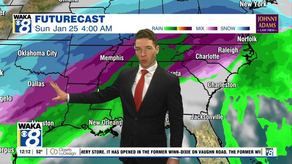
Spring Fever Is In The Air!
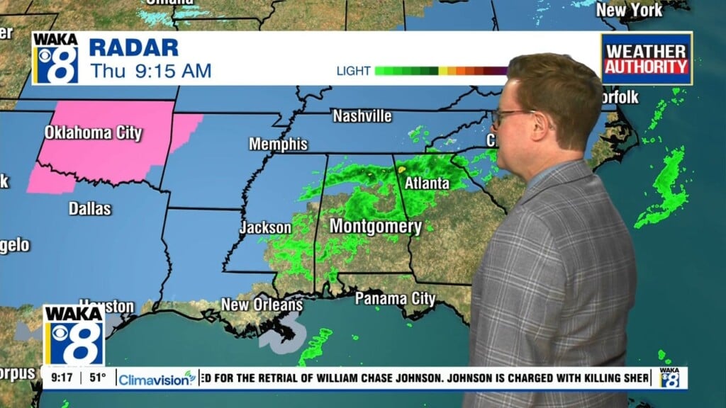
A taste of spring-like warmth is covering most of the deep south. High pressure is keeping the skies clear and that’s giving us abundant sunshine and warmer temps. We should see lower to mid 70s through Thursday. Overnight temps are coming up as well with lower to mid 40s for morning lows. A frontal boundary moves into the area late Wednesday night into Thursday. Moisture is limited and the chance for showers is low. A better chance for rain comes along as the boundary drifts back northward and a wave moves along it Friday. We expect rain/showers areawide during your Friday. The boundary continues to push farther north over the weekend. This will keep most of the rain activity out of our area and allow us to warm nicely. Mid to upper 70s are likely both days. We head into early next week with more rain on the way. This will be a more active weather pattern and rain is sticking around through midweek.