Cloudy & Wet Tuesday!
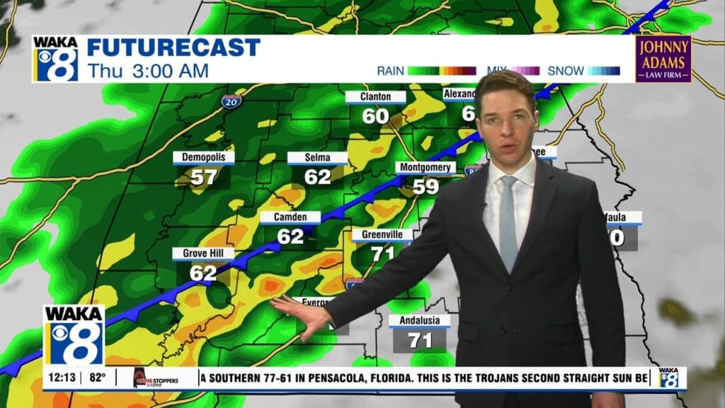
A cloudy and wet first half of the work week. An area of low pressure will move along a frontal boundary sitting over the northern gulf. This disturbance will help generate a good soaking across our area Tuesday. Rainfall potential is looking like 1 to 2 inches. Temps will be held down because of clouds and rain. We expect highs to only manage mid 50s Tuesday afternoon. High pressure moves over head Wednesday. This will give us a chance to dry out for a few days. Mostly sunny skies should help get temps back into the upper 60s to lower 70s for highs Wednesday through Friday. Another disturbance works across the area Friday night into early Saturday. A quick round of showers is possible with this system. High pressure is back and we’re into sunshine and drier conditions Saturday and Sunday. Temps will top out in the 60s over the weekend. Sunny skies continue into early next week. We warm nicely with highs in the upper 60s to lower 70s through Thursday of next week.


