Feels Like Spring Around Here!
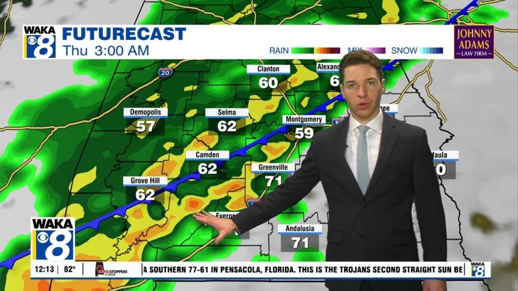
A warm and dry weather pattern is in place across our area and there’s little change until early next week. High pressure now east of us is maintaining the weather overhead. The high pressure ridge will block any significant weather features from advancing eastward into the area. It’s also providing us a southerly wind flow and that’s helping to warm the air and send temps into the 80s later this week. We could see our first low to mid 80s of the season over the weekend. Morning temps will continue to come up as well. We’ll start out in the mid to upper 50s over the weekend into early next week. Eventually the ridge will break down and allow a frontal system into the deep south. Showers and storms are likely beginning Monday and sticking around through the middle of next week. In the mean time, it’s all the makings of spring but don’t count out a few more cold snaps before its all said and done!


