Turning Much Warmer!
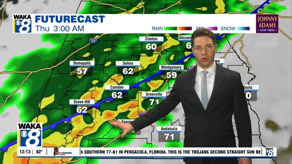
A significant warm up is ahead as we approach the latter half of the workweek. High pressure centered east of us is producing warm southerly winds and temps are responding. We begin a streak of 80+ degree warmth Thursday and it last through Sunday. The southerly wind flow will also transport gulf moisture into the area but rain chances are slim through Sunday. The high pressure ridge releases its grip on our weather and allows a frontal system to move into the area Monday. This system will bring in a round of rain/storms. We’re in between systems Tuesday but another rain maker works into the area Wednesday. During the active weather pattern, temps come down a bit and highs drop into the mid to upper 70s. High pressure returns and we’re back to sunshine and mild spring-like weather conditions later that week.


