Severe Storms Possible This Week, With A Significant Threat Wednesday
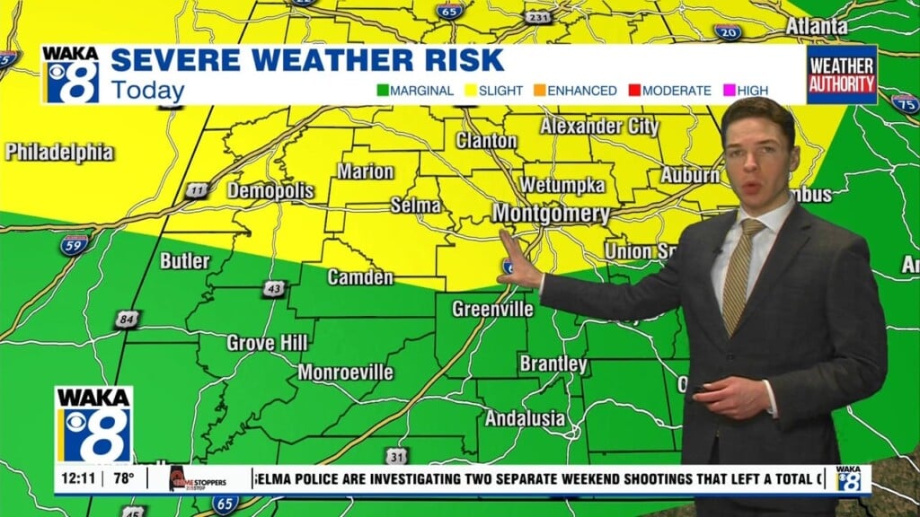
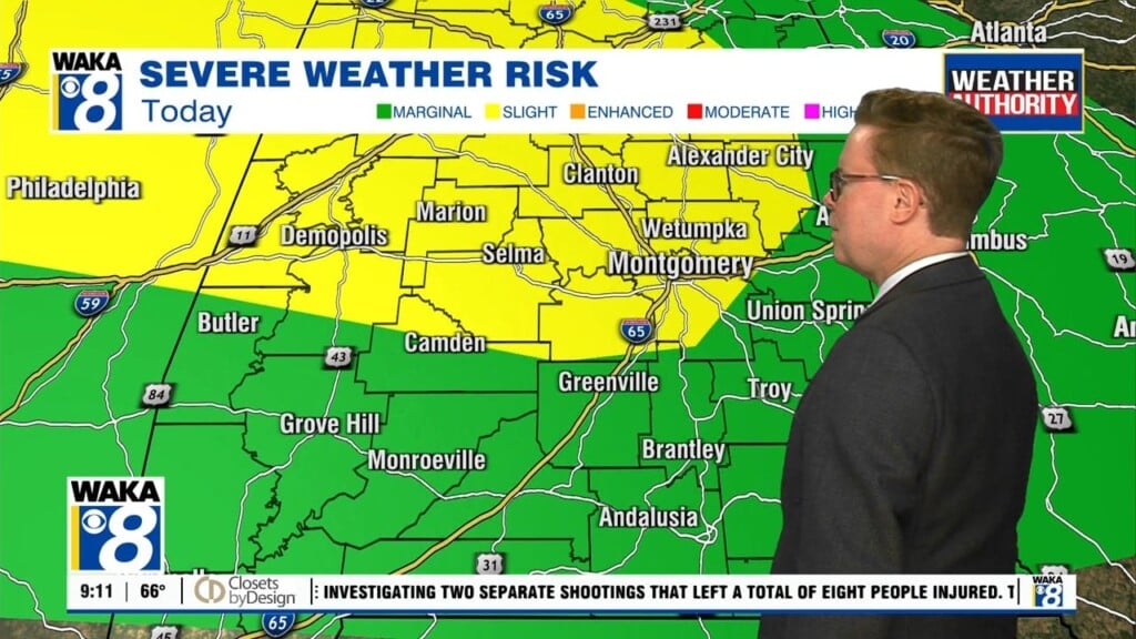
After a very warm and dry weekend, storms are back in the forecast this week. In fact, through Wednesday, some of those storms could be strong to severe. Wednesday’s threat for severe weather looks significant and could be widespread. In the meantime, Monday features a partly to mostly cloudy sky with scattered showers and storms. Many of these storms could hold off until late in the afternoon or this evening. The storm prediction center places a marginal risk for severe weather across Alabama approximately along and northwest of I-65. A few strong straight-line wind gusts appear to be the main threat through tonight. With rain holding off for much of the day, temperatures could warm into the upper 70s to low 80s. Showers and storms could become more widespread overnight, with lows in the 60s.
Shower and storm coverage appears numerous to widespread Tuesday. Some of Tuesday’s storms could be strong to severe too, with damaging wind gusts still the primary concern. Despite the higher coverage of rain, temperatures could still reach the mid to upper 70s. Tuesday night lows fall into the 60s.
At this point, severe weather looks likely Wednesday. All modes of severe weather will be possible. That includes tornadoes, some of which could be strong and/or long track, damaging straight line winds of or exceeding 60 mph, and hail possibly up to golf ball size. It looks like the severe threat window opens sometime between midday and the afternoon after a warm front lifts through the area. We could see isolated to scattered storm development in the open “warm sector” south of the front. These storms could become severe, capable of producing all modes of severe weather. A line of storms moves west to east through our area Wednesday night in advance of a cold front. These storms will also be capable of all severe weather modes.
Storms will likely still be ongoing in southeast Alabama through early Thursday morning, and could still be severe at that point. By mid to late morning the storms exit Alabama, with dry weather and some sunshine for the afternoon. Winds become breezy behind the front for the rest of the day, however. Thursday night turns cooler, with lows in the 40s. Friday features a mix of sun and clouds, with highs only in the 60s.
The cool and mainly dry weather continues into the weekend. Expect highs in the 60s Saturday and Sunday, with lows in the 40s each night. It could be a bit warmer early next week, and still dry with a sun/cloud mix next Monday.


