Severe Storms Likely Wednesday Into Thursday!
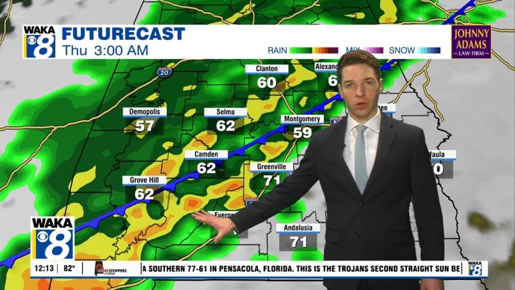
OVERNIGHT: Periods of rain and a few storms will continue to work across the area. Pockets of moderate to heavy rain will accompany some of the storms passing through. The overall trend is for any stronger storms to push northward and out of our area by early Thursday morning.
SIGNIFICANT SEVERE WEATHER THREAT: We urge you to pay attention to the weather as the main threat for severe weather comes through Wednesday afternoon into Thursday morning, when a very dynamic storm system moves into the state, producing a more typical spring-time severe weather set-up for the state.
PLACEMENT: The SPC has much of the state and our area in a “Moderate Risk” (level 4/5) for severe storms on Wednesday but we note the entire state of Alabama is under the threat for severe storms with this event.
TIMING: Thunderstorms could begin developing over West Alabama during the late morning hours, but for much of the state, the core threat for severe weather comes Wednesday afternoon, evening, night, and into the pre-dawn hours Thursday.
THREATS: Again, this is a more typical set-up for severe storms in Alabama, and all modes of severe weather will be possible as storms will have the potential to bring large hail (up to golf ball size), damaging winds (up to 80mph), and tornadoes. There could even be a few strong/violent (EF2+), long-track tornadoes possible across the Deep South considering the atmospheric setup.
CALL TO ACTION: Now is the time to prepare and make sure all aspects of your weather safety plan are ready to go as the threat for severe storms impacts Alabama. You have got to have multiple, reliable ways to receive severe weather notifications, especially since this event will continue into the overnight hours.
Be sure WEA (Wireless Emergency Alerts) are enabled on your phone. Look under notifications. Tornado warnings, flash flood warnings, and amber alerts are pushed to your phone via WEA, and it doesn’t involve an app. We recommend the Alabama News Network Weather app for your phone also to push alerts.
You can select the warnings you receive, and it works well and is very reliable. Also, a NOAA Wether Radio should be a part of every home, and the most popular NOAA Weather radio is the Midland WR-120. You can find it at most big box retailers, and online sellers like Amazon.
You need helmets for everyone, including adults, in your safe place. Bicycle helmets and batting helmets work very well. It is also a good idea for everyone to have hard soled shoes on (in case you have to walk over a debris field), and a portable air horn (in case you need to alert first responders). You cannot stay in a mobile home during a tornado. Know now where you will go in case you are under a tornado warning polygon. Community shelter, a business that open 24/7, etc.
QUIETER END TO WEEK: The rain and storms will end early in the day Thursday, and some clearing is likely by afternoon as drier air begins to arrive. The high Thursday will be in the low 70s, but Friday will be mostly cloudy and cooler with a high in the 60s. A few sprinkles are possible Friday, but most of the state will be dry.
FIRST WEEKEND OF SPRING: Spring officially arrives this Saturday morning as the vernal equinox occurs at 4:37 AM CDT. The weather this weekend will be quiet and cooler as Saturday will be partly sunny with highs in the low 60s. Expect more sunshine Sunday with a high in the mid to upper 60s. The quieter weather will continue into early next week, before the next system will bring another round of rain and storms by Wednesday or Thursday.


