Marvelous Monday; More Strong Storms Possible Thursday
Today will feature plenty of sunshine with highs in the low to mid 70s. Clouds will begin to increase tonight as the pattern gets a bit more active for the rest of the week.
RAIN/STORMS RETURN: The chance of showers and thunderstorms return to the forecast tomorrow. For now the severe weather potential with this system looks low, but a strong storm is very possible. The surface front hangs up across Central Alabama and showers and a few storms will remain possible Wednesday. Highs both day will be in the 70s.
STRONG STORMS POSSIBLE THURSDAY: On Thursday, a surface low looks to form off to our west will move northeastward across portions of Arkansas, Tennessee, Kentucky, and Indiana throughout the day. Out ahead of the accompanying front, rain and thunderstorms will move across the area throughout the day with heavy rain possible. A decent amount of instability with a good bit of shear and a more than sufficient amount of helicity involved in the atmosphere across the area during the afternoon, evening, and overnight hours and we may be dealing with more strong to severe storms, with the potential for damaging winds up to 60 MPH and a few tornadoes.

As you can see, the SPC already has most of Louisiana, Mississippi, and Alabama highlighted in a 15% of severe weather on Thursday. This, by far, doesn’t look to be a high risk type of event, but you can have a major localized severe event in a lower risk. We are in the main part of our severe weather season, so we can’t let our guard down at all. Highs will be in the upper 70 to low 80s.
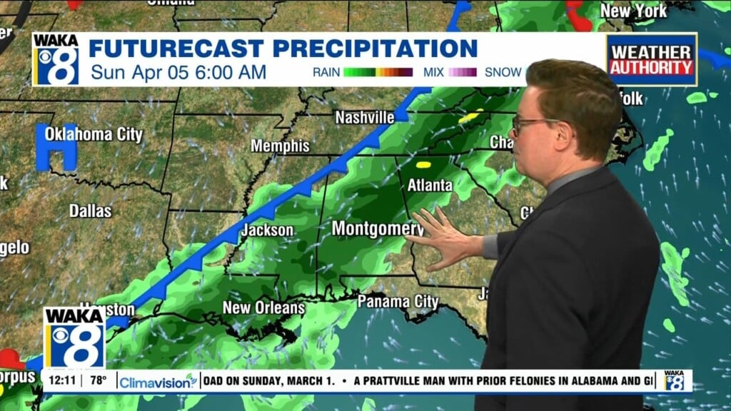
FRIDAY & THE WEEKEND: The frontal boundary pushes down into South Alabama, and Friday may be a pretty decent day of weather but rain and storms will form along the boundary across the southern parts of the state that will begin lifting northward through the day on Saturday. There will be a chance of showers and storms mainly for the southern half of Alabama. A cold front will help to push that activity out of the area during the late morning hours on Sunday, and leaving us dry throughout the rest of the day. Instability values have risen over the past couple of model runs, so a few strong storms will be possible at this point. Highs will be in the mid-70s to the lower 80s on Saturday, and ranging from the upper 60s to the lower 80s on Sunday.
Have a mysterious Monday!!!
Ryan