Rain/Storms Ahead This Week!
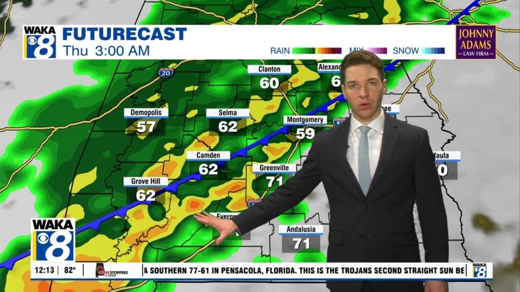
An active weather pattern is establishing itself over us this week. Several rounds of rain and storms will move through the area. Some of the storms could be strong to severe Thursday! In the mean time, we have a quiet weather setup across the area tonight. Clouds will be on the increase and temps fall through the 60s into the upper 50s overnight. Our first area of rain/storms works through the state Tuesday late morning into the afternoon hours. Temps will manage lower to mid 70s for highs. A southerly wind flow will setup up and maintain a moisture transport into the area. At the same time, a frontal boundary hovers just to our west. This puts us in an area ripe for showers and t-storms to occur at times. We remain in this weather setup for most of the week. The frontal boundary makes a push eastward Thursday. This increases the risk for some stronger to severe storms to pass through here. Main threats will be damaging winds and possibly a few tornadoes Thursday afternoon into the evening hours. We will keep the chance for showers and storms around through the upcoming weekend. It won’t rain all the time but there will be periods of rain working through the area. High pressure returns and we’re drying out early next week.


