Rain/Storms Return Today; Severe Storm Threat Thursday
RAIN/STORMS RETURNS: Clouds returned overnight ahead of a cold front that will bring a chance of showers and some thunderstorms, back to Alabama today and night. The main dynamic forcing will remain well to the north of Alabama, and severe storms are not expected, but don’t surprised to hear some rumbles of thunder. The front will stall out across the area, so showers will remain possible Wednesday. The weather will remain mild with highs in the mid 70s.
SEVERE STORMS THURSDAY/THURSDAY NIGHT: A vigorous upper air trough will generate a deepening surface low north and west of Alabama, and will bring a risk of strong to severe thunderstorms to the state Thursday afternoon and Thursday night. The SPC has introduced an “Enhanced Risk” (level 3/5) for severe storms across much of North and Central Alabama, with the level 2/5 slight risk for the rest of today state.

There is still differences in the models in terms of how the system evolves, and the short range and mesoscale modes are just now starting to pick up on the event, so these will give us a better handle on the magnitude of the threat, and the exact timing of the next couple days, but for now expect this threat Thursday afternoon, evening, and night. Also, there does appear to be a threat for damaging winds, tornadoes, and hail, which are not unusual for Alabama this time of year. So just make sure you pay attention to future forecast in the coming days.
Along with with potential storm threat, we need to mention that some flooding issues are possible later this week as well as rain amounts of 2-4 inches are likely across much of Alabama through Thursday night.
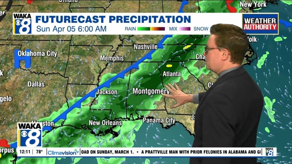
FRIDAY AND THE WEEKEND: Drier air arrives Friday; as the front pushes down towards the Gulf Coast and stalls, but the sky becomes partly sunny with a high in the upper 70s and lower 80s. For the weekend, the weather looks to be more unsettled as disturbances ride up and long the front, bringing with them better rain chances to the state, especially the southern half of the state Saturday and perhaps into Sunday. Highs over the weekend will hold in the upper 70s.
Have a Tuesday you won’t soon forget!!!
Ryan