Calmer Weather Today, but Showers Remain in the Forecast
FOR TODAY: Much calmer weather today as the threat for severe storms is over for the state. Thursday was a very violent and destructive day for Alabama and sadly lives were lost. Thankfully the weather is better today as we will see a partly sunny sky, with highs in the upper 70s and lower 80s, with a few scattered showers. Overnight, a warm front will move back north across the state and could bring showers and a few thunderstorms to the state overnight. Lows will be in the upper 60s.
WEEKEND WEATHER: Tomorrow will be a very warm and breezy day with scattered showers and highs in the mid 80s. For tomorrow, more severe storms are expected across the Tennessee River Valley along the aforementioned warm front and the SPC has a severe weather risk in place.

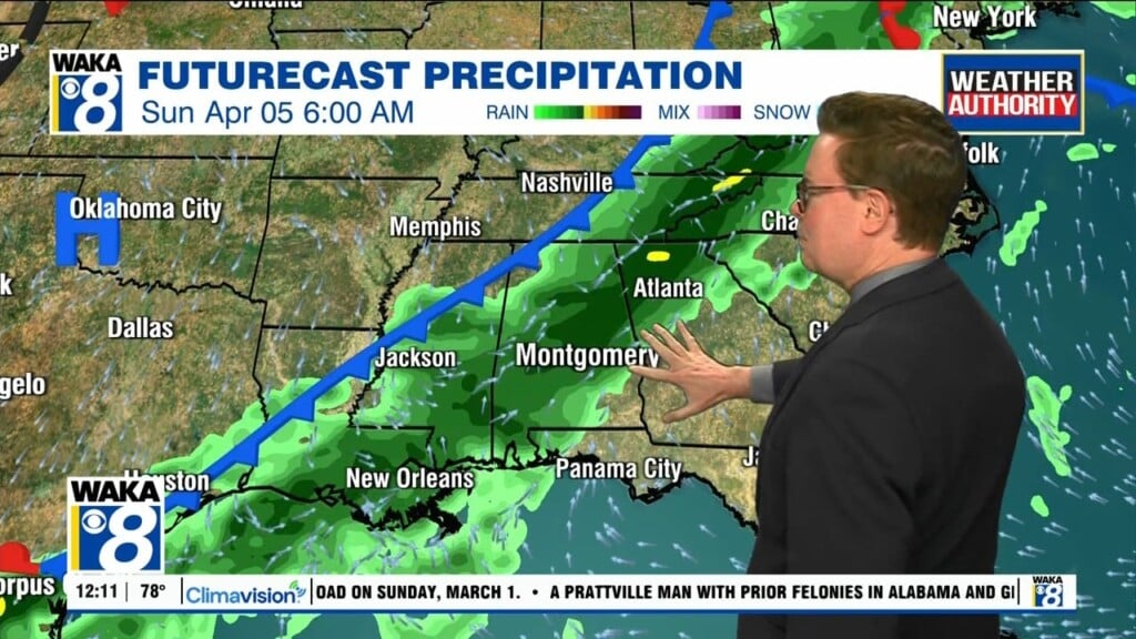
A few storms could produce hail and strong gusty winds, and perhaps an isolated tornado during the afternoon and evening hours. For Sunday, the front pushes back to the south as a cold front and will bring showers and storms back to Central and South Alabama. A few storms could be severe and the SPC has much of the state in a “marginal risk” (level 1/5) for severe storms Sunday.

The main threats for now on Sunday would come from damaging winds and hail. For now, tornadoes are not expected. Highs Sunday will be in the upper 70s to near 80°.
INTO NEXT WEEK: Showers could linger into Monday over South Alabama, and then the rest of next week looks to continue more showers at times, with highs int he 70s. However, a cold front will bring cooler weather into the state just in time for Easter weekend, but before that, we may have to deal with more rain and storms.
Be blessed and highly favored today!!!
Ryan