Very Warm Saturday, Then More Storms Sunday
Although showers and storms remain scattered about our area through Friday afternoon, they won’t be strong or severe like we saw Thursday. A stalling front that helped produce Thursday’s severe storms lifts north through our area as a warm front overnight. That sets up warm and muggy weather through Saturday. The sky remains mostly cloudy Friday night through Saturday. Isolated showers appear possible overnight and Saturday also. However, overnight lows only fall into the mid to upper 60s, and Saturday afternoon’s high temperatures likely warm into the mid 80s.
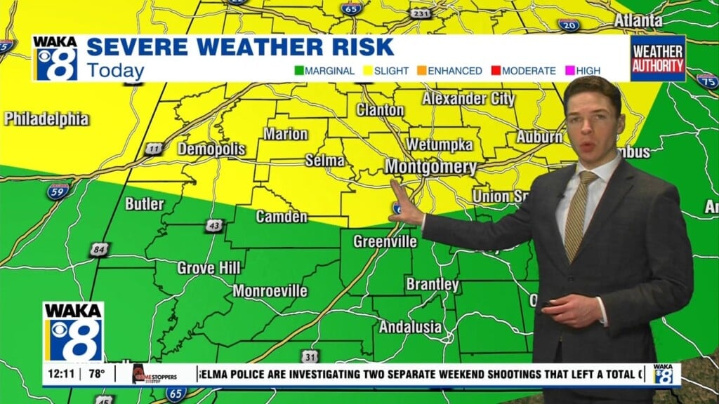
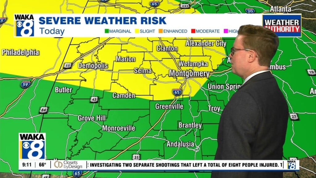
Saturday night remains quite warm and humid, with lows only in the mid to upper 60s again. Sunday’s weather looks a little different, thanks to the arrival of another cold front. Showers and storms look likely just in advance of the front, and a few could be strong or even severe. The storm prediction center currently places a marginal (level 1/5) threat for severe across all of our area. Damaging straight line wind gusts up to 60 mph appear to be the main hazard. The front may quickly push to our south Sunday evening, bringing a temporary end to showers and storms. Sunday night looks cooler in the wake of the front, with lows in the 50s.
Monday morning could get off to a relatively dry start, but increasing clouds and some showers appear possible by the late afternoon and evening. Expect clouds and showers to linger about our area through Tuesday, though rain doesn’t look all that widespread throughout early next week. It certainly won’t be a washout.
Another front could arrive in Alabama next Wednesday. The chance for rain looks fairly high at this time, and some storms will likely be in the mix too. Models aren’t particularly good at predicting the tracks of storm systems 5-8 days out, and it’s hard to rule out the chance for severe storms in late March. However, given the way models show Wednesday’s storm system right now, it isn’t particularly concerning.
Next Wednesday’s front should push to our south Thursday, with cooler and drier weather to end next week. Highs may only reach the 60s next Thursday and Friday, with lows in the 40s and possibly the 30s each night.


