Rain/Storms Then Turning Colder!
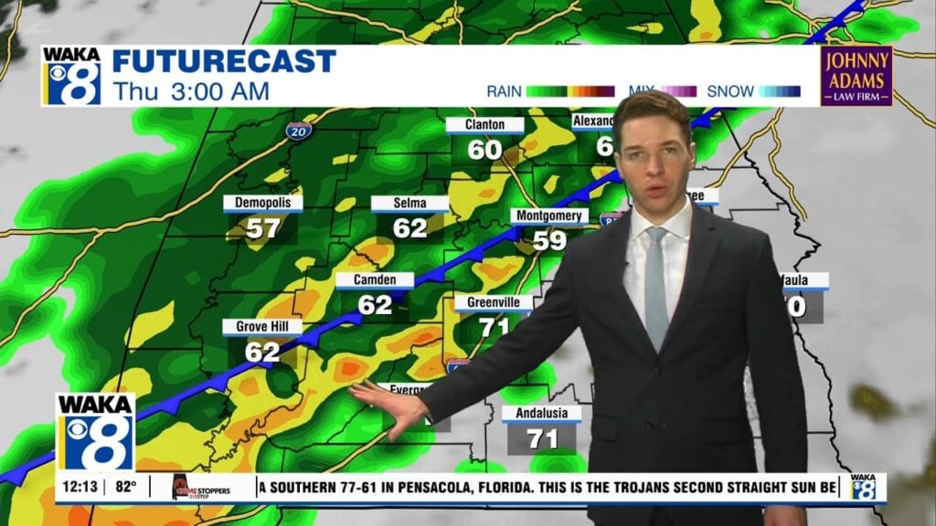
A quiet weather pattern for now but changes are on the way in two stages. First, we have more rain and storms on the way. A warm front to our south moves northward tonight into early Tuesday. This allows moisture to work back into the area. As a result, we will introduce showers and possibly a few storms into the forecast for Tuesday. The winds will be southerly and temps warm nicely into the upper 70s to lower 80s Tuesday afternoon. We head into Wednesday with a cold front approaching from the west. Rain and storms develop ahead and along the boundary. Some of the storms could be strong to possibly severe Wednesday afternoon into the evening hours. The Storm Prediction Center has us under a marginal risk (1/5). That’s a low end threat but we should all monitor this and stay weather aware. Secondly, we’re on the backside of the cold front Thursday. A surge of much colder air invades the deep south. Temps start out in the upper 30s to lower 40s and only manage upper 50s to around 60 Thursday. Low to mid 30s are likely Friday morning! We begin climbing out of this cold snap over the upcoming Easter weekend. We’re underneath high pressure and that keeps the skies mostly clear and allows for a warming trend to begin. We’re back in the mid 70s by Easter Sunday! The warming continues and lower 80s are more like it early next week.


