Cool, Blustery Thursday; Freeze Warning Tonight
LATE SEASON COLD SNAP: A colder, drier air mass is settling into the state for a couple of days. Today will feature tons of sunshine, but it will be a very cool day with highs struggling to reach the mid and upper 50s. Add in a gusty northerly wind, it will be feeling colder as well. Plus winds will gust as high as 40mph today, and a wind advisory has been issued for much of Alabama.

FREEZE WARNING TONIGHT: The winds go light and with a clear sky overnight, temperatures will have no problem falling into the lower 30s in most locations across Central and South Alabama as we project lows in the 29-34 degree range…

Growers beware as you’ll have to take precautions to protect sensitive vegetation as temperatures this cold will cause harm. Tomorrow will be sunny and cool, with highs in the upper 50s and lower 60s. Low Friday night will fall back into the mid 30s, so patchy frost is possible Saturday morning.
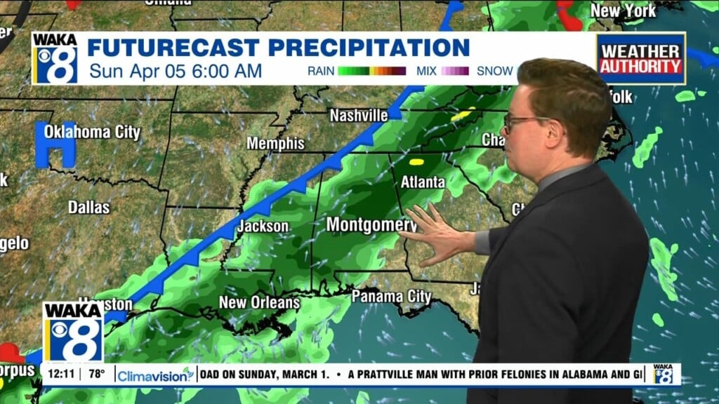
EASTER WEEKEND: The weather looks great for the weekend with a mix of sun and clouds Saturday and a warming trend both days. Highs Saturday will be in the upper 60s, followed by mid 70s Sunday. For those sunrise services Sunday morning, be sure to bundle up as temperatures will be in the lower 40s.
FIRST FULL WEEK OF APRIL: The weather looks quiet at least for the first half of the week with a warming trend; we reach the low 80s by Tuesday. Showers or storms will most likely return by Thursday or Friday. Too early to know if severe storms will be an issues, but tis the season.
Welcome to April and have a great day!!!
Ryan