Nice Through Midweek
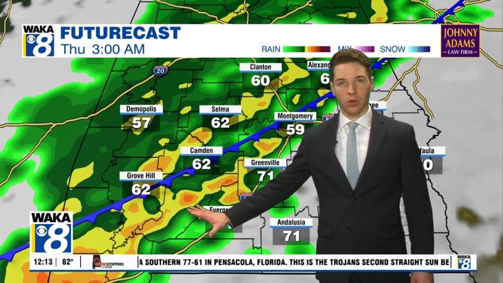
High pressure over the deep south is providing us this quiet weather pattern for now. Days will be sunny/warm and nights clear/cool. Afternoon high temps will reach the 80s by Tuesday. We head into late Wednesday with a frontal boundary approaching the state. Rain and storms are likely ahead and along the frontal boundary. We have a low end risk (marginal 1 out of 5) for severe storms Wednesday night into early Thursday. The main threats will be damaging winds and possibly a few tornadoes. Looks like the front will hang up over the region and be the focal point for more and rain/storms Friday into the weekend. It’s setting up to be a rather active weather pattern. It won’t rain all the time but we will keep the chance for rain and storms in the forecast through Saturday. High pressure returns for Sunday into early next week. That will give us an opportunity to dry out until the next system comes in around Tuesday of next week.


