Quiet Start to Week; Rain and Storms to End the Week
OH SO NICE!!!: Today is a wonderful day of weather featuring maximum sunshine and very mild temperatures as highs climb into the mid to upper 70s. Nearly the same story for tomorrow as another very nice and sunny day is ahead. Highs will be warmer, reaching the upper 70s to the lower 80s.
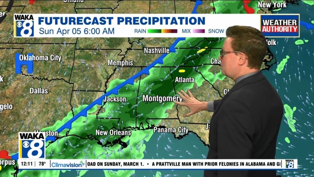
MIDWEEK & BEYOND: Wednesday will be even warmer with mostly clear skies to start, but an approaching system will push clouds into the area throughout the second-half of the day. A few isolated to scattered showers and storms may be possible during the afternoon. Highs will be in the upper 70s to the lower 80s. A cold front will begin a trek through the southeast and will bring rain and storms to Central Alabama on Thursday. The front will have a hard time moving across the area and will not exit Central Alabama until late Friday night. Storms may become strong with the potential for gusty winds and some hail, and we can’t rule out a brief spin-up tornado at this point. There will be plenty of instability out ahead of the front in the warm sector, especially during the main heating of the day and through the evening hours. Highs will be in the mid-70s to the lower 80s on both days.
WEEKEND WEATHER: The pattern stays relatively active throughout the weekend as scattered showers and storms will be possible at any time on both days, but most activity will occur during the afternoon and evening hours. Highs both days will be in the lower 80s.
Have a marvelous Monday!!!
Ryan