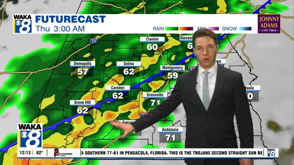
We’re definitely feeling some spring warmth out there and it’s sticking around this week. We will maintain 80+ degree warmth for afternoon highs through Friday. A frontal boundary makes a run at us Wednesday night into Thursday. This system will help generate rain and storms as it moves through the state. Some of the storms could be strong to possibly severe. The main threats will be damaging winds and hail. Storms will enter our western counties around 10pm Wednesday and out of the area by late Thursday morning. The weather pattern remains active Friday and Saturday. We see a couple of waves passing near or through the region. This will lead to more rain/storms. Temps should come down a bit due to clouds and rain activity Saturday. Highs will only manage mid 70s. High pressure briefly returns to the area Sunday into Monday. We get a chance to dry out and warm back into the 80s. Another frontal boundary heads into the area with rain/storms Tuesday. Once it clears us, we’re looking at temps to cool down heading into the latter half of next week.


