Strong To Severe Storm Threat Through Midday Saturday
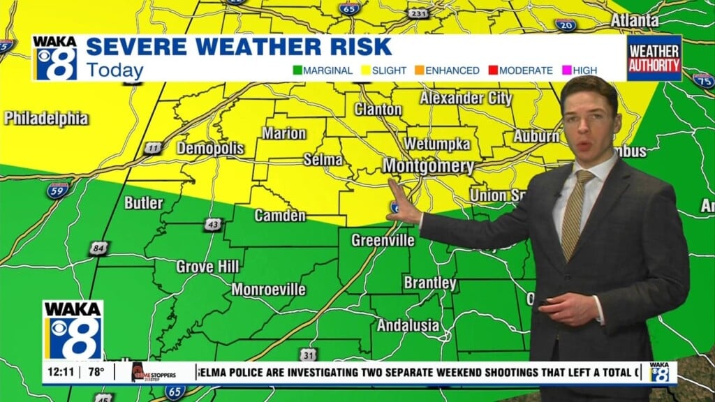
Friday began on a stormy note across central and south Alabama, with multiple severe thunderstorms through the morning hours. A few storms produced hail between 1 and 2 inches in diameter. Large hail and damaging wind gusts appear to be our primary severe threat through the afternoon and evening. It’s possible that we see a little lull in thunderstorm activity late this evening. However, another and potentially more significant round of severe storms arrives overnight. Expect highs in the upper 70s Friday.
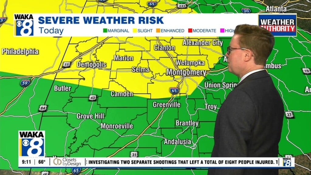
The second round of storms brings the potential for widespread damaging winds. Embedded tornadoes are a threat with the overnight/Saturday morning round too, while the hail threat decreases. The second round of storms should push into far southeast Alabama by midday Saturday. The storm prediction places the highest risk for severe weather to our west across the Ark-La-Miss and central Mississippi, but there’s still a slight to enhanced (level 2/5 to 3/5) risk area across all of central and south Alabama.
Saturday afternoon looks quieter as the severe weather threat subsides. Some sunshine could return before the day is done, with highs in the mid 70s. Some clouds and even a few morning showers appear possible Sunday, but an overall nicer day with highs in the upper 70s.
Monday looks dry with sunshine and some clouds. Highs warm into the low 80s. Clouds increase with the chance for rain each day for the rest of the week. Models are in disagreement on the tracks of potential disturbances rolling through the southeast next week. As a result, they disagree on the placement of the most widespread rain. For now, there’s a low-end chance for showers each day. However, the rain chance may increase on any given day as the picture for next week becomes clearer. Otherwise, looks like temperatures trend down for the middle and end of next week. Expect highs in the mid 70s, with lows in the 50s.


