Trending Wet & Cooler Late Week
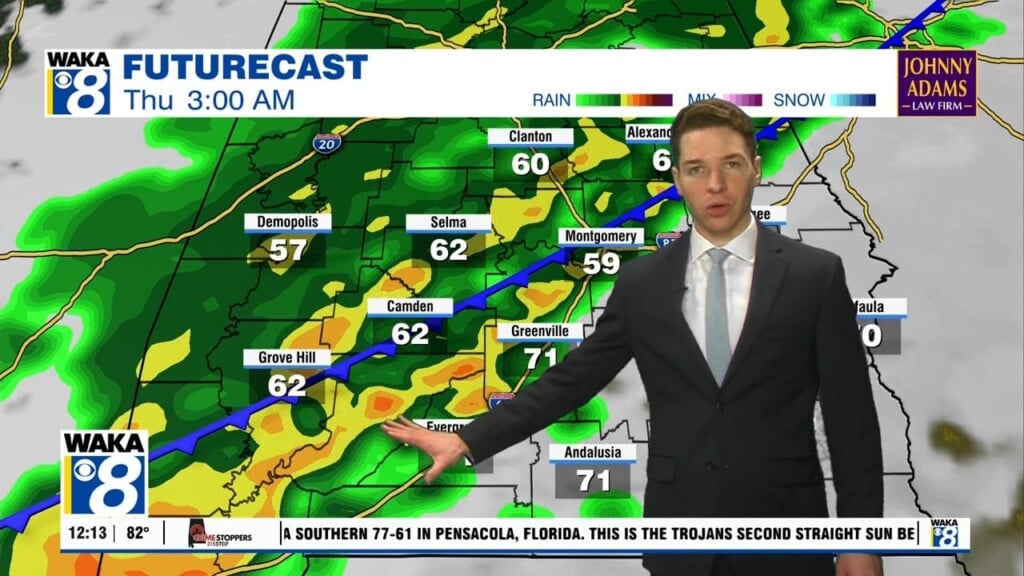
We transition out of our summer-like weather into a cloudy, wet, and cooler setup for the remainder of the week. High pressure has given way and moved east of us. A frontal boundary makes it approach into the area Wednesday. We expect periods of rain and a few storms to accompany the frontal passage. It doesn’t look like anything too strong or severe. Rainfall amounts between a half to one inch through early Thursday. Temps will be coming down during this cloudy and wet pattern. Daytime highs retreat to the 70s while overnight lows hover in the 50s. We expect the frontal boundary to linger over the northern gulf for several days. This will give disturbances time to develop and move along the boundary. As a result, there’s more rain ahead for the area. Showers can’t be ruled out each day through Sunday. At this point, Saturday is looking like the higher chance for rain over the weekend. We begin to trend drier Sunday afternoon through the early part of next week.


