Midweek Cool Snap
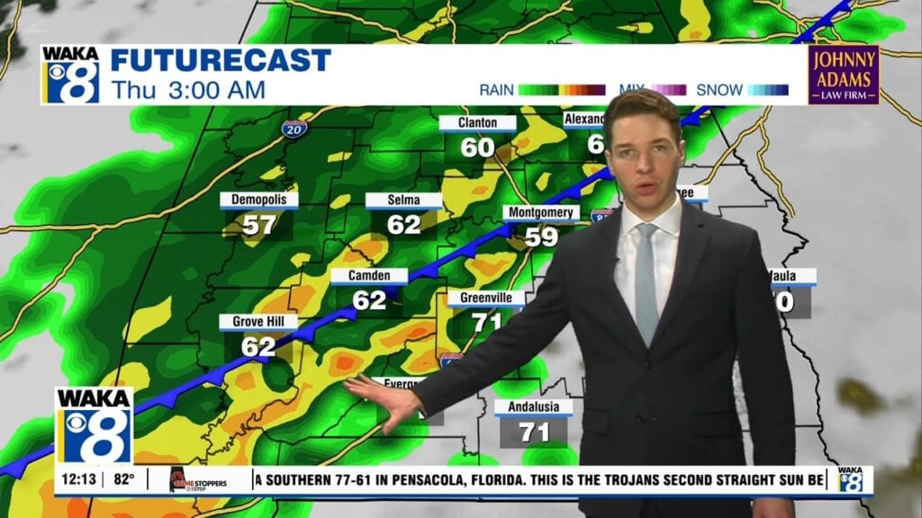
We start the week out with a very dry air mass in place. Temps are about where they should be for this time of the year. Highs in the 70s with lows in the 50s. There are changes on the way as a strong cold front moves into the area Wednesday. It’s a dry front but it does have some colder air coming in behind it. Daytime highs only reach the mid to upper 60s and lows fall into the lower to mid 40s midweek. High pressure does move in behind the front as well. This will help provide a mostly sunny and dry weather pattern through late week. Temps will actually warm nicely into the mid 70s by Friday. It’s just before another frontal system moves into the area Saturday. This system will be a rain maker and your Saturday is looking a bit wet. Rain and possibly storms are likely. The rain is out of here late Saturday and this will set us up for a nice Sunday. High pressure returns and we’re back into a mostly sunny and dry weather pattern again. This time around temps respond nicely with highs back into the 80s.


