The Warming Continues!
We’re looking at a potential fog issue overnight into early Wednesday. Low clouds or fog will probably hang tough and could impact your morning commute. Visibilities would be reduced making it a bit hazardous. A little extra time may be required to make it into the office on time.
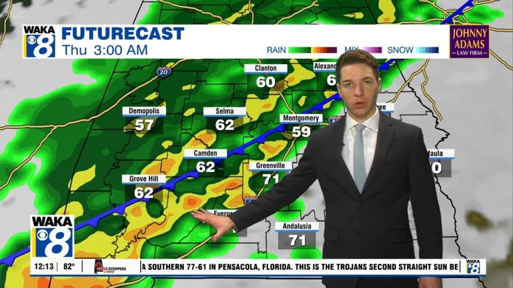
The heat is cranking up as we head into midweek. Mid to upper 80s will be possible through Thursday afternoon. High pressure will help keep plenty of sunshine over us. A frontal boundary makes a run at us late Thursday into Friday. This boundary will help kick off showers and possibly a few storms. We still don’t see anything too strong or severe. You will notice temps coming down a bit thanks to clouds and showers. Highs will retreat into the mid to upper 70s Friday.
There is a bit of uncertainty when it comes to the weekend weather. Model data is split on how this will play out. One wants to develop an area of low pressure to our southwest and bring rain over us both days. Another is holding any precipitation off until late Sunday into Monday. It’s going to take another run or two of the models to clear this up. For now, I’d say there is the potential for some rain over the weekend. Stay tuned!


